

Areas of fog will move in along the coast overnight into Tuesday morning with patchy dense fog at times. Fog will affect areas from the beaches to about 10 miles inland.
Along the coast, there is a High Surf Advisory and a Coastal Flood Advisory in effect until 10am Tuesday. Expect waves of 3 to 6 feet and sets of 8 feet, strong rip currents and dangerous swimming conditions. The greatest threat of flooding will happen during the morning high tide at 9:32am when tides reach 5.9' in La Jolla. This includes flooding of parking lots, boardwalks, roads with possible road closures, and beach erosion.
Low clouds and fog will clear to sunny skies and warmer temperatures on Tuesday as mild Santa Ana winds develop. Tuesday afternoon, you can expect east and northeasterly winds of 20 to 35mph inland to the mountains. Stronger winds late Wednesday into Thursday morning with widespread gusts of 20 to 35mph inland to the mountains, 35 to 45mph in the windier spots like Alpine, and isolated gusts over 50mph in the typically wind-prone areas like Sill Hill, Hellhole Canyon and Big Black Mountain.
Low humidity and warm temperatures will accompany these gusty winds, increasing fire danger. Luckily rain earlier in the season means the fuel moisture is still high, mitigating the critical fire threat.
Tuesday temperatures will soar 10 to nearly 20 degrees above average for most of the county, 5 to 10 degrees above normal near the immediate coast. It will be even warmer on Wednesday, when even coastal areas will soar 15 to 20 degrees above normal.
While cooling begins Thursday, temperatures remain well above average. Expect 70s and 80s for most of the county through Thursday. Greater cooling on Friday with a deepening marine layer, and a slight chance of drizzle to light showers.
Fair over the weekend with 60s and 70s for the coast and valleys, 50s in the mountains, and 70s and 80s in the deserts.
Next week we may be in for a pattern shift with our first chance of measurable rain early next week, and the potential for more rain by mid-February. The Climate Prediction Center is forecasting above normal chances of rain in mid-February.
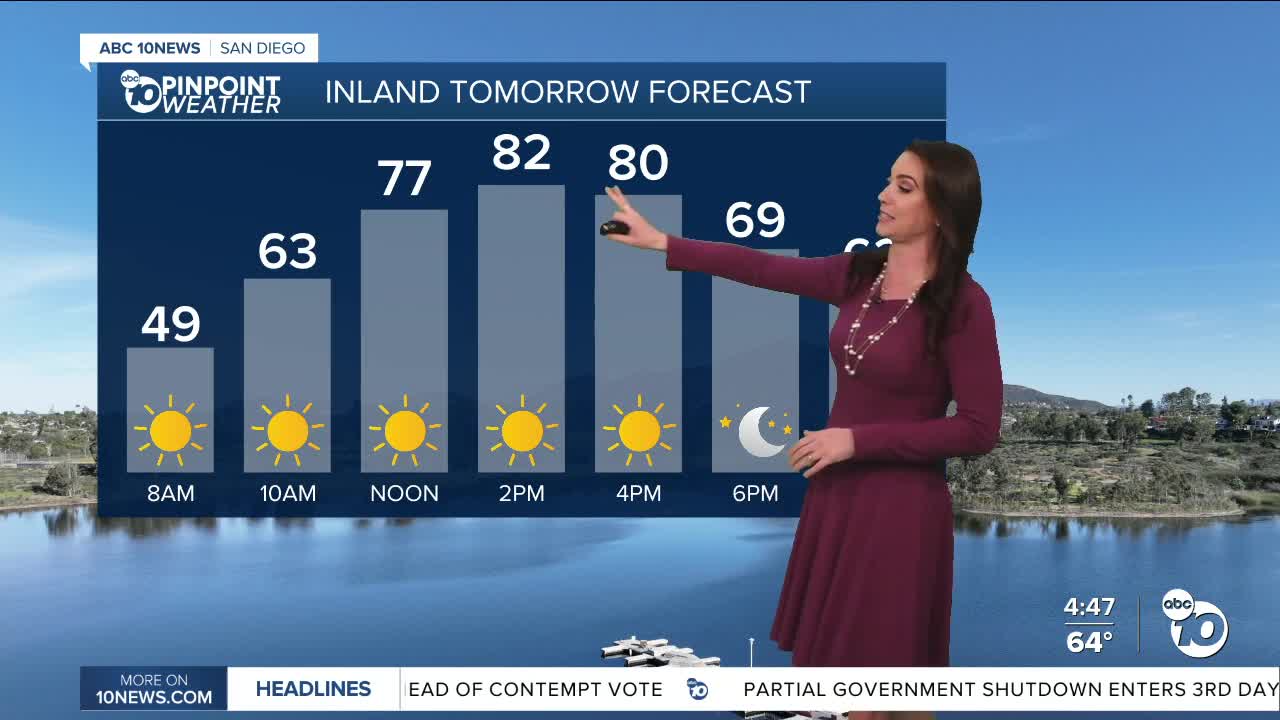
Tuesday's Highs:
Coast: 68-78°
Inland: 78-87°
Mountains: 58-75°
Deserts: 80-84°
Follow ABC 10News Meteorologist Megan Parry on Facebook at Megan Parry 10News, Instagram @mis_meg_wx and Twitter @10NewsParry.
