

The heaviest rain, snow, and thunderstorms today ended early this morning, with isolated showers during the day. The next round of wet weather will also end early tomorrow, with peak activity between 12/1am and 7/8am Wednesday. Rain will be heavy at times, leading to localized flooding and ponding on roadways during the morning commute, even after the worst of the rain has passed.
Impressive rainfall totals so far with most areas receiving 1 to 2 inches, locally over 3 inches. While Mt. Laguna has reported 3 inches of snow as of Tuesday morning.
Click here to see real-time rain totals where you live.
Winds will be even stronger tonight into Wednesday morning with heavy snow in the mountains.
A Wind Advisory is in effect for the coast and valleys from 8pm Tuesday until 8am Wednesday for southwesterly winds of 15 to 25mph, gusts 30 to 45mph, and isolated higher.
A Wind Advisory continues in the deserts until 4pm Wednesday for westerly winds of 25 to 35mph and gusts of 50 to 65mph.
These winds, coupled with saturated ground from the rain, pose a risk of downed trees and tree limbs and possible power outages. Pay attention to your surroundings and don't park your vehicle near trees that may fall.
Most of Wednesday will be dry, much like Tuesday. The last round of wet weather will bring rain, wind, and mountain snow during the day Thursday, with peak activity in the afternoon and evening. Showers taper off early Friday morning.
Additional rainfall through Thursday will average between .50 to 1.50 inches from the coast to the mountains and between .15 and .50" in the deserts.
Localized flooding will remain a threat with each successive round of heavier rain. If you live in an area that has experienced flooding in the past, you should prepare sandbags and lift any valuables off the ground.
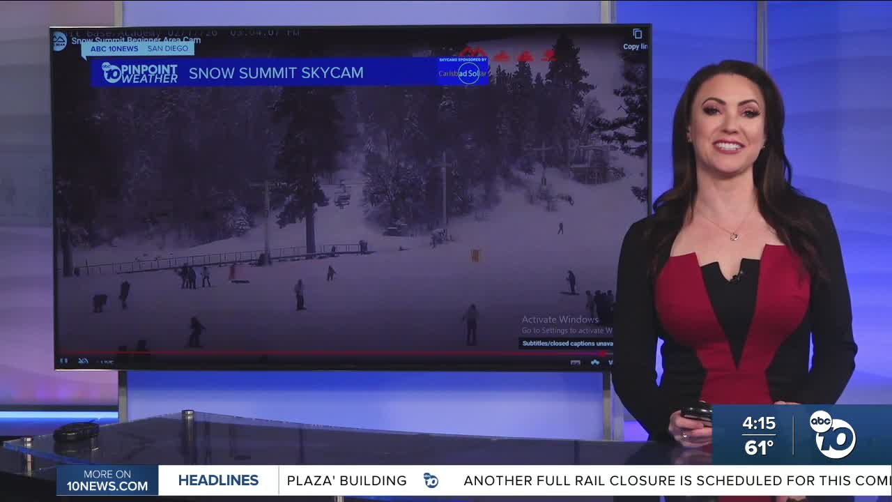
Snow has already begun to fall in Mt. Laguna and Palomar Mountain, with moderate to heavy snowfall during each storm. Snow levels will hover between 4,000 and 5,000 feet through Friday morning, potentially even as low as 3,500 feet.
A Winter Weather Advisory is in effect for the mountains until 10pm Thursday. We may see a dusting as low as 3,500 feet, with 3 to 8 inches between 4,000 and 5,500 feet (including Julian, which would be on the low end), and 5 to 12 inches above 5,500 feet (including Mt. Laguna and Palomar Mountain).
If headed to the mountains, be sure to bring chains and extra supplies.
There is a High Surf Advisory in effect until 10pm Friday for waves of 6 to 10 feet, sets to 12 feet, dangerous rip currents, and possible minor coastal flooding.
Things dry out just in time for the weekend and it will be warmer in the mid to upper 60s at the coast, mid 60s to low 70s inland, 50s in the mountains and 70s in the deserts.
There are more chances of rain as we continue further into February, so stay with the Pinpoint Weather Team, San Diego's Most Accurate Forecast, for updates on this active storm track.
Wednesday's Highs:
Coast: 57-61°
Inland: 52-60°
Mountains: 32-50°
Deserts: 64-67°
Follow ABC 10News Meteorologist Megan Parry on Facebook at Megan Parry 10News, Instagram @mis_meg_wx and Twitter @10NewsParry.
