

Winter is back! Tuesday was much cooler than it has been for the last two weeks, with highs up to 17 degrees cooler than just Monday for the coast and valleys. Despite the drop in temperatures, highs were actually close to seasonal averages.
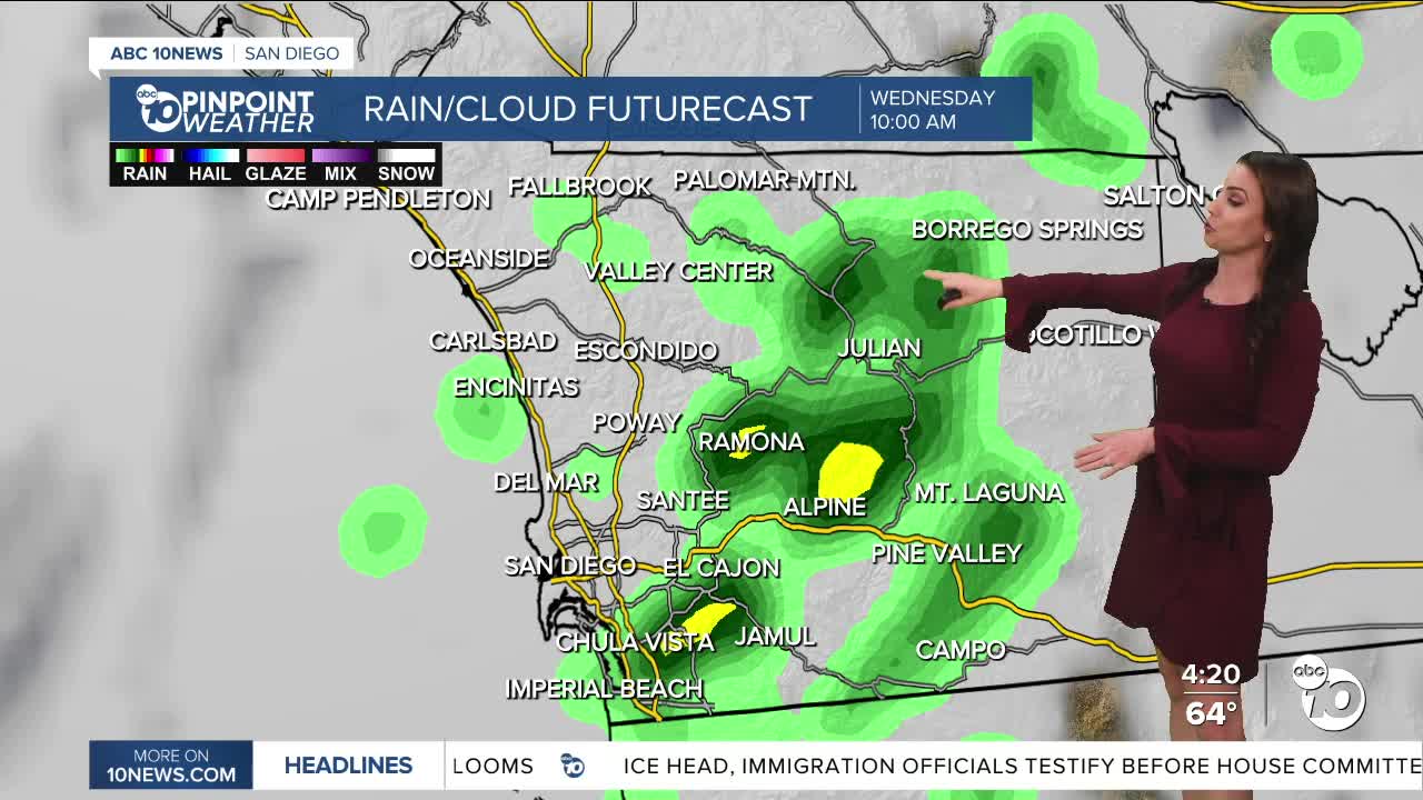
There is a chance of sprinkles to isolated light showers ahead of the cold front that will bring more rain by Wednesday morning. Expect scattered showers between 6am and 10am Wednesday, likely leading to a slow morning commute. It's been a while since we've had rain, so the roads may be more slick than you anticipate.
A slight chance of isolated showers lingers into Wednesday afternoon.
Rain will mostly be light to moderate, with accumulations of 0.10 to 0.25 inches, locally up to half an inch from the coast to the mountains, with little to no measurable rain in the deserts.
Gusty southwest and westerly winds of 20 to 45mph will affect the mountains and deserts through Wednesday. The coast and valleys may see gusts of 15 to 30mph.
Surf will build again on Wednesday as the storm moves in, bringing waves of 4 to 6 feet and sets of 7 to 8 feet along with strong rip currents.
A second storm will pass south of San Diego Thursday into Friday which will keep clouds streaming across the county, but the chance of rain looks minimal.
Drier with sunshine returning Friday afternoon into Saturday, before a more impactful storm brings widespread heavy rain on Monday. Showers continue Tuesday with another storm bringing more rain for the of next week.
Wednesday's Highs:
Coast: 62-65°
Inland: 58-64°
Mountains: 46-60°
Deserts: 70-73°
Follow ABC 10News Meteorologist Megan Parry on Facebook at Megan Parry 10News, Instagram @mis_meg_wx and Twitter @10NewsParry.
