

It has been a rainy New Year's Eve across the county with rainfall totals as of 7pm averaging between 0.25 to .50" already. We'll get a break from the widespread steady rain through about 11pm, maybe even midnight if we're lucky, with only isolated showers.
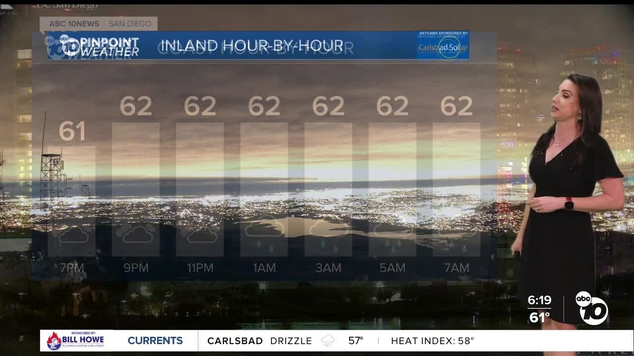
The rain will pick up again overnight into Thursday morning with periods of heavier rain and a slight chance of thunderstorms. Localized flooding and ponding on roadways will be a concern.
Shower activity will taper off by mid-afternoon into the evening on New Year's Day. This storm isn't a huge wind-maker but gusts up to 25mph will be possible Thursday morning.
Rainfall totals with this storm will average between .75 to 1.50" for most of the county and locally up to 2", potentially as high as 3" in the mountains, while the deserts will mostly see less than .50".
Click here to see real-time rainfall totals where you live.
It will be cooler the rest of the week with temperatures trending near to slightly below average for New Year's Day into next week.
The current storm will be the most impactful, but a series of storms will keep the wet weather going into 2026.
Mostly dry Friday with only a slight chance of showers, great news for the Holiday Bowl Game and Parade!
Storm two will bring scattered showers late Saturday into Sunday. Rainfall totals will be lighter with this storm likely between .15 to .50" for most of the county.
Monday's chance of showers will mostly be in the morning, with a third storm bringing another round of showers late Tuesday into Wednesday.
Have a happy and safe New Year!
Thursday's Highs:
Coast: 63-67°
Inland: 64-69°
Mountains: 48-61°
Deserts: 64-67°
Follow ABC 10News Meteorologist Megan Parry on Facebook at Megan Parry 10News, Instagram @mis_meg_wx and Twitter @10NewsParry.
