

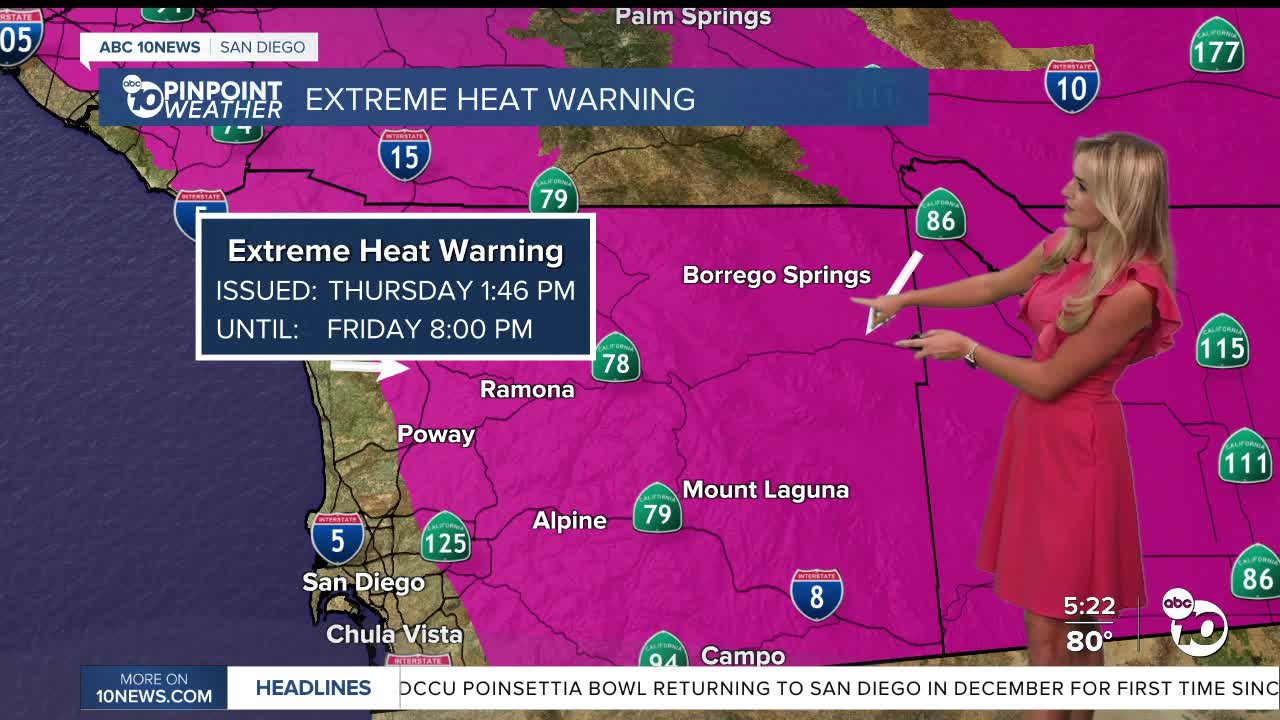


We’ve got at least one more day of extreme heat here in San Diego County!
The Heat Advisory, as well as the Extreme Heat Warning blanketing the county is set to expire at 8 p.m. Friday.
But the weekend will start with above average temperatures still.
Looking at the next 24 hours, another warm night is ahead, before we end the work week with near-record breaking temperatures.
Along the coast on Friday, highs will be in the mid to upper 80s.
Our inland spots will be toasty! Seeing highs in the upper 90s and low 100s.
Our mountains will range in the mid 90s, with some spots nearing the triple digit mark.
And for our deserts, expect highs nearing 114°.
Spots like Ramona and Campo could continue to break records- Based on Wednesday’s highs, Ramona topped a 2010 record by hitting 104°, while Campo beat a 2020 record with a new high of 106°.
Friday comes with a very slight chance for thunderstorms in the afternoon, along with humid conditions.
The high pressure that has been locked over Southern California will finally move away from us as we look toward this weekend.
A trough will be dipping down into the Pacific Northwest, giving some spots across the county a 10 degree cool down.
We will even feeling cooler by Sunday, with temperatures closer to average.
A developing tropical system could even bring some rain by Tuesday or Wednesday.
Any storms that form may produce heavy rain, strong winds, lightning, small hail and localized flooding.
Friday's Highs:
Coast: 83-88°
Inland: 97-102°
Mountains: 92-100°
Deserts: 111-116°
Follow ABC 10News Weather Anchor Ava Kershner on Instagram, Facebook, and X.
