

Temperatures are cooler than normal for coastal and inland communities, but the heat still reigns supreme in the mountains and deserts.
The deserts will stay under the Extreme Head Warning through 8 p.m. Tuesday, during which temps could top out around 114 degrees.
The Heat Advisory for the mountains expires earlier, lasting through 8 p.m. Monday, with highs ranging in the upper 80s to mid-90s.
Low and mid level moisture brought chances for thunderstorms to the mountains Sunday afternoon. Mount Laguna saw precipitation, although it only totaled between 0.07"-0.19". Any possibilities for precipitation end around 7 p.m. and will be dry moving forward.
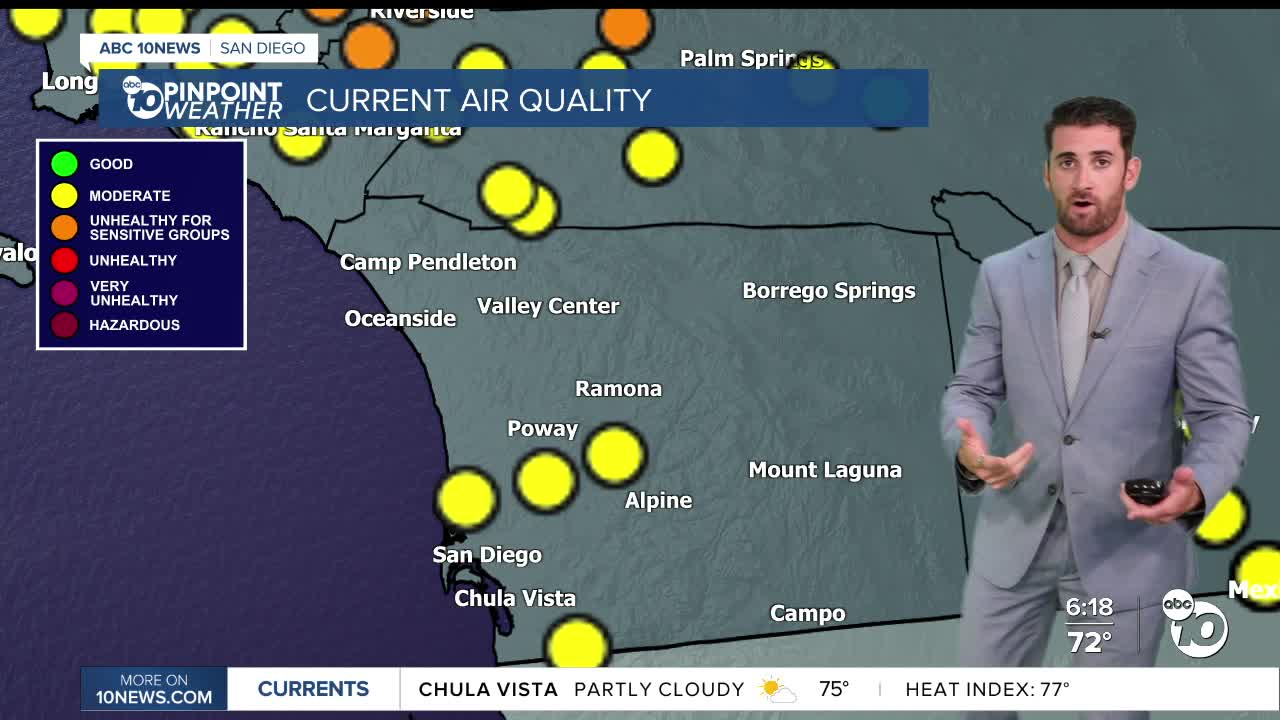
Everyone but the coast could see areas of smoke moving in overnight and into tomorrow, with the potential to return overnight Monday into Tuesday morning thanks to wildfires still raging across Southern California.
Coastal and inland neighborhoods will also likely see overnight and morning fog through the extended forecast, impacting visibility at times.
Clouds will be a bit stubborn on the coast tomorrow, only leading to partial clearing, with sunny skies expected everywhere else.
Temperatures will gradually cool down, with everyone returning to near-normal by the end of the week and below normal next weekend.
Monday's Highs:
Coast: 71-81°
Inland: 82-93°
Mountains: 88-96°
Deserts: 108-114°
Follow ABC 10News Weather Anchor Max Goldwasser on Instagram, Facebook and Twitter.
