

Low clouds and patchy fog will spread to the coast and valleys into Wednesday morning, clearing out to sunny skies by mid to late morning. Patchy fog possible again Thursday morning with a mix of sun and clouds during the day through Friday as a Pacific storm approaches California.
Temperatures will trend near to 12 degrees above average through Friday.
It will be breezy in the mountains and deserts each afternoon and evening, with westerly gusts of 20 to 30mph. Stronger winds are expected this weekend as a Pacific storm brings rain to the county.
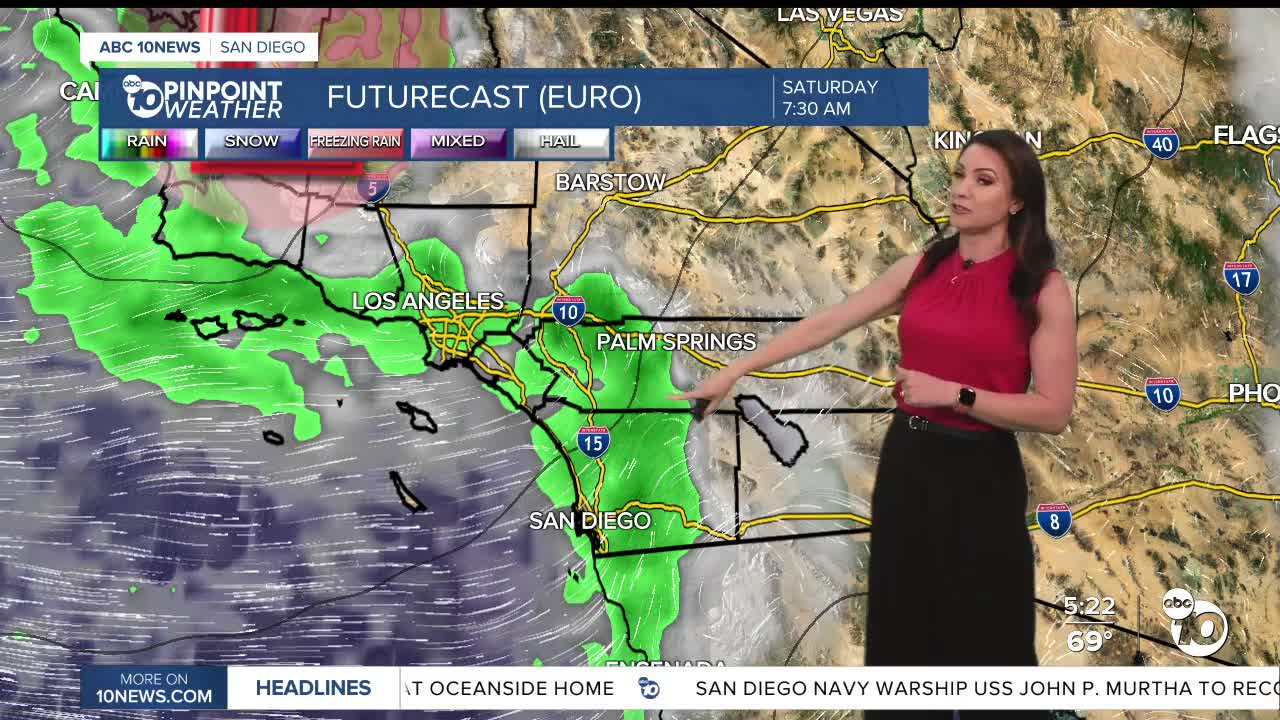
There is a chance of rain as early as overnight Friday, with scattered showers Saturday, isolated showers Sunday, and a few showers lingering into early Monday morning. Saturday will be the wettest day with mostly light to moderate rain through the day and a slight chance of thunderstorms.
Latest weather models have the storm staying farther north, if that ends up happening we'll see less rain than a more southerly track. Preliminary forecast totals now look to range between .25 to 1.00" for most of the county but the storm track will ultimately determine how much rain we get.
Temperatures will drop 2 to 10 degrees below average this weekend with Sunday likely the coolest day of the week. This weekend expect 60s for the coast and valleys, 50s in the mountains and 70s in the deserts.
We'll dry out during the day on Monday with warmer weather by Tuesday.
The Artemis is expected to splash down off the San Diego coast on Friday at 5:07pm. It will be in the 60s with a slight chance of showers, though the better chance of showers will be later that night.
Wednesday's Highs:
Coast: 68-75°
Inland: 72-82°
Mountains: 68-82°
Deserts: 95-98°
Follow ABC 10News Meteorologist Megan Parry on Facebook at Megan Parry 10News, Instagram @mis_meg_wx and Twitter @10NewsParry.
