

Warm weather will stick around through midweek with temperatures trending 5 to 10 degrees above average across the county.
Low clouds and patchy fog will spread to the coast and valleys each night and morning, clearing out to sunny skies by mid to late morning.
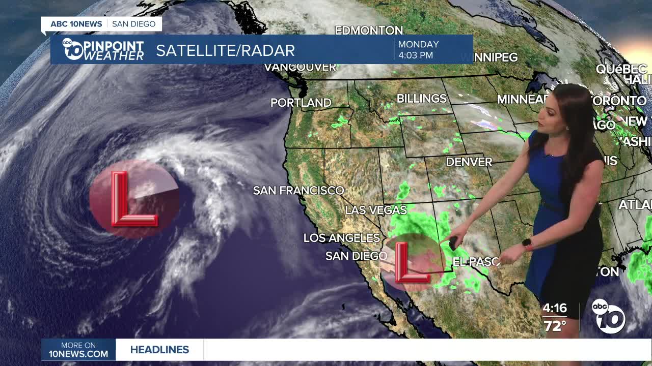
It will be breezy in the mountains and deserts each afternoon and evening, with westerly gusts of 20 to 30mph. Stronger winds are expected this weekend as a Pacific storm brings rain to the county.
That Pacific Storm may bring a chance of showers as early as overnight Friday, with widespread rain Saturday and isolated showers lingering into Sunday. Saturday will be the wettest day with periods of heavy rain and even a slight chance of thunderstorms.
Preliminary forecast totals look to range between .50 to 1.50" for most of the county but the storm track will ultimately determine how much rain we get.
Temperatures will drop 2 to 10 degrees below average this weekend with Sunday likely the coolest day of the week. This weekend expect 60s for the coast and valleys, 50s in the mountains and 70s in the deserts.
The Artemis is expected to splash down off the San Diego coast on Friday at 5:07pm. It will be in the 60s with a slight chance of showers, though the better chance of showers will be later that night.
Tuesday's Highs:
Coast: 69-75°
Inland: 75-81°
Mountains: 67-81°
Deserts: 94-97°
Follow ABC 10News Meteorologist Megan Parry on Facebook at Megan Parry 10News, Instagram @mis_meg_wx and Twitter @10NewsParry.
