

Some parts of San Diego County have received rain on Tuesday, and could do so once again on Wednesday, but the coast will stay warm and sunny.
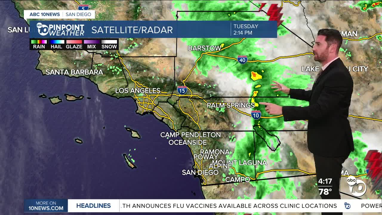
Tuesday's rain totals through 4 p.m. are at 0.08" in Mt. Laguna, 0.30" in Ramona and 0.68" in Borrego Springs.
More chances for showers stick around through the evening, although those chances are slight at best.
This strength, timing and reach of this window of storm activity has weakened since previous forecasts.
Inland neighborhoods only have one more day where showers and thunderstorms could fall (rather than through Friday), with the mountains and deserts seeing that through Friday (rather than through the weekend).
Daily rainfall totals will be minimal, with most areas expecting less than 0.10" more in that window.
Still, despite a weakening system, the monsoon moisture will still be in the atmosphere, keeping conditions muggy in those areas during that time.
Temperatures will be right around or slightly above average on Wednesday in and west of the mountains.
Despite a Heat Advisory in the valleys expiring Tuesday at 6 p.m., Wednesday will still be warm, with temperatures there topping out in the upper 80s to mid-90s. Daytime highs on the coast will range from the mid-70s to upper 80s.
The mountains will be right at average with a similar range to the coast. The deserts are the only part of the region where temperatures will be below normal, with some areas not even reaching triple digits.
Everyone cools off heading into the weekend, when conditions will be drier and sunnier once again.
Wednesday's Highs:
Coast: 76-88°
Inland: 88-95°
Mountains: 76-91°
Deserts: 94-100°
Follow ABC 10News Weather Anchor Max Goldwasser on Instagram, Facebook and Twitter.
