



Weather Headlines:
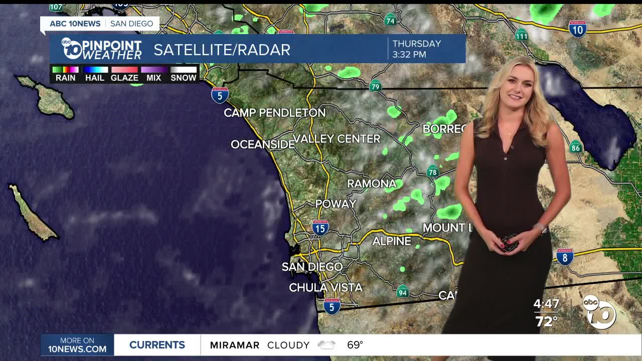
- Pacific storm bringing showers and scattered thunderstorms through Friday
- Warming up with Santa Ana winds this weekend
- High surf throughout the end of the week
Scattered showers, along with that chance of thunderstorms will last throughout Friday.
Forecast rainfall totals will average between .50 to an inch and isolated higher totals, especially if and where thunderstorms form which is expected to be in North County.
Temperatures were much cooler today, with lots of spots 5 to 15 degrees below average.
Looking ahead to Friday, coastal areas will be in the upper 60s and low 70s along with our inland spots.
Mountains will be the coolest of the bunch, with temperatures in the upper 50s and low 60s.
Our deserts, relatively unaffected by the rain so far, will see highs in the mid to upper 70s.
A Wind Advisory for the mountains and deserts was set to expire at 6 p.m. on Thursday, with gusts forecasted to reach 25 to 45 m.p.h.
Winds return this weekend- but will be coming from a different direction.
Santa Ana winds are in the forecast, but at this point, it looks like a mild event with winds not as strong as last Friday.
This weekend we'll see 70s and 80s for most of the county and 60s in the mountains.
Everyone returns back to average or warmer-than-average temperatures by Monday.
Friday's Highs:
Coast: 68-70°
Inland: 69-72°
Mountains: 55-63°
Deserts: 75-79°
Follow ABC 10News Weather Anchor Ava Kershner on Instagram, Facebook, and X.
