



We’ve got one more day of heat alerts across the county!
Heat risk remains in inland, mountain, and desert areas Sunday, with a cooldown expected by Wednesday.
A Heat Advisory for the inland and mountain communities is expected to expire by 8 p.m. tonight!
Same for the Extreme Heat Warning in our deserts.
Along our coastline today, highs will be in the upper 70s and low 80s.
Our inland communities will reach temperatures in the upper 80s and low 90s.
The mountains will also be warm, with highs in the low 90s.
And our deserts, always the warmest of us all, will see highs close to 111°.
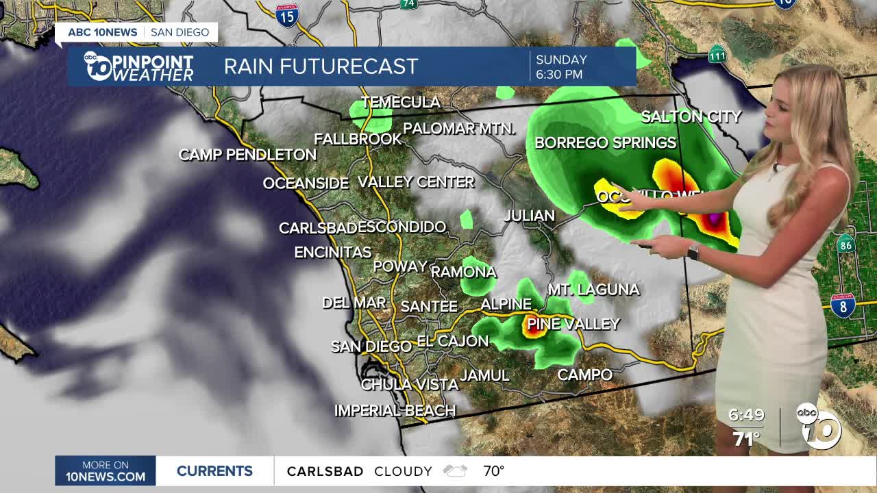
Weak thunderstorms are moving across the county this afternoon.
More chances for afternoon and evening storms are expected in the mountains and deserts through Wednesday, with the heaviest rainfall likely on Monday and Tuesday.
A big shift in our weather happens midweek!
High temperatures will drop to near normal on Tuesday, as low pressure cools us down and dries us out.
Storm chances should decrease significantly by Thursday.
More low clouds and fog will spread inland during the nights and mornings later this week.
Sunday's Highs:
Coast: 76-81°
Inland: 85-90°
Mountains: 90-98°
Deserts: 109-113°
Follow ABC 10News Weather Anchor Ava Kershner on Instagram, Facebook, and X.
