



We kicked off the work-week with temperatures closer to average on Monday.
After today, temperatures will begin to trend down, leading us to a cooler Halloweekend.
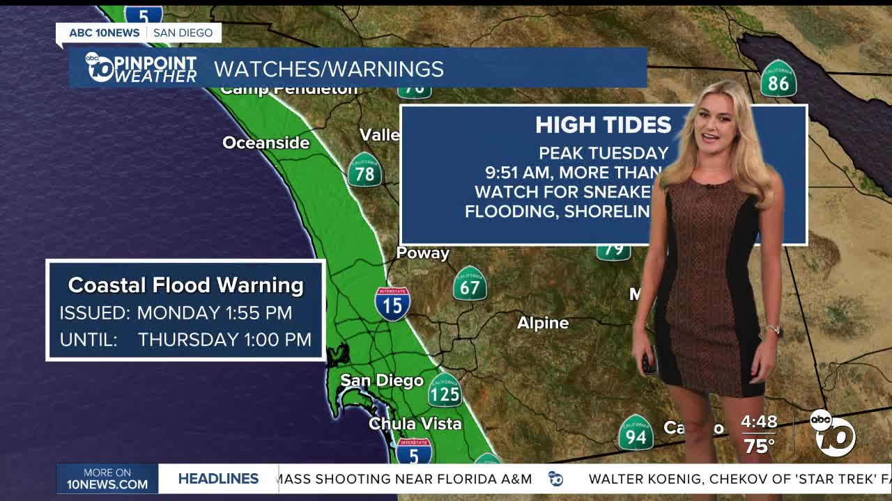
We’ve been tracking a Coastal Flood Warning since Sunday, and have already seen low-lying areas in Mission Beach flood.
According to the National Weather Service, high tides are set to peak on Tuesday.
NOAA predicts high tide around 9:51 a.m., reaching above 7 ft.
This warning lasts throughout Thursday! So be ready for coastal flooding in low-lying beach communities, with some roads, parking lots, walkways and properties at risk of flooding. Shoreline erosion is also possible.
Ocean water levels are expected to run approximately 1 to 1.7 feet above astronomical tide predictions.
Also watch for sneaker waves and stay off of rock walls and jetties.
Along our coastline, high will be in the mid 70s with mostly sunny skies.
Inland, we will be a tad warmer, with highs in the mid to upper 70s, and possibly some low 80s.
Our mountains will be in the mid 60s and low 70s, also with mostly sunny skies.
The deserts will be in the mid to upper 80s.
By Friday, temperatures will have significantly cooled down.
This weekend, we could see highs 10° to 20° below average.
The marine layer is also expected to return, bringing areas of low clouds and patchy fog to coastal communities, especially Tuesday night into Wednesday morning.
Looking ahead to Halloweekend, you might want to fit an umbrella in with your costume.
A developing low-pressure system over the Pacific Northwest will help bring cooler temperatures, increasing clouds and breezier conditions to Southern California beginning Thursday.
Rain chances could return as early as late Thursday night into Friday, although the timing remains uncertain.
Forecast models are also tracking another disturbance carrying subtropical moisture over the Pacific.
If these two systems interact, San Diego could experience a wetter Halloween weekend. However, if they remain separated, rainfall could be limited to isolated light showers.
While confidence is increasing in cooler weather and at least some potential for precipitation, it is still too early to determine exact rainfall totals or which communities will see the most rain.
Anyone planning outdoor Halloween activities should continue monitoring the forecast as the week progresses.
Tuesday's Highs:
Coast: 73-77°
Inland: 74-79°
Mountains: 65-74°
Deserts: 83-87°
Follow ABC 10News Weather Anchor Ava Kershner on Instagram, Facebook, and X.
