

Heavy rain and gusty winds hit us hard on Christmas Eve. We get a break from the action Thursday before it could pick back up Friday.
Here is a look at the rainfall totals for Wednesday as of 7:45 p.m...
Palomar Mountain: 1.40"
Mount Laguna: 1.08"
El Cajon: 0.67"
National City: 0.62"
Vista: 0.61"
Escondido: 0.53"
San Diego: 0.51"
The entire county remains under a Flood Watch through 1 a.m. Thursday.
Meantime, the coast and valleys have been and will continue to be under a Wind Advisory through 10 p.m. Wednesday.
Here is a look at some of the strongest gusts in those regions Wednesday:
Imperial Beach: 59 mph
Kearny Mesa: 52 mph
Miramar: 52 mph
San Diego: 57 mph
Carlsbad: 45 mph
Alpine: 43 mph
The worst of the wind and rain is behind us, although we do have more chances for showers and possibly thunderstorms tonight.
On Thursday, those rain chances stick around, but impacts would be minor compared to Wednesday. The mountains and deserts will also feel the breeze with some gusts peaking close to 50+ mph.
Temperatures on Thursday will be right around average to go along with partly cloudy skies, with mostly sunny conditions coming to the deserts.
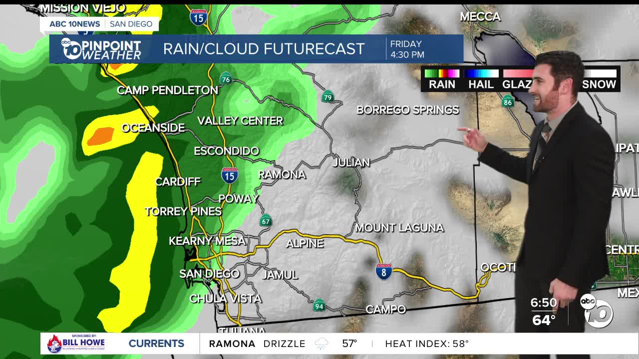
Rain will come back for the coast and valleys Friday, possibly stretching into the mountains and maybe even the deserts. Friday will remain gusty as well in the mountains and deserts too.
Saturday could see some precipitation as well. Sunday and Monday should be dry before another system could be headed our way just in time for New Year's Eve and New Year's Day. Yay!
Thursday's Highs:
Coast: 64-67°
Inland: 65-70°
Mountains: 49-61°
Deserts: 68-76°
Follow ABC 10News Weather Anchor Max Goldwasser on Instagram, Facebook and Twitter.
