

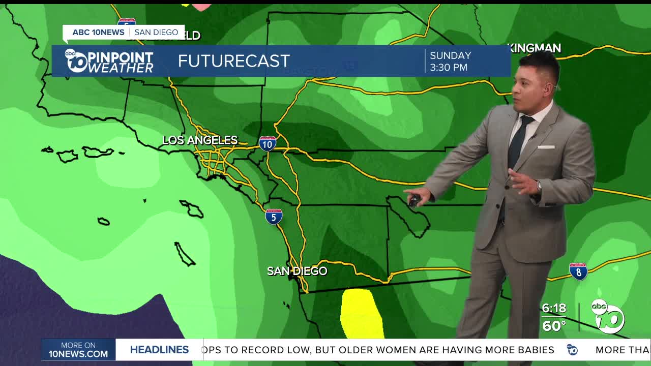


SAN DIEGO (KGTV) — San Diego County is enjoying a warm and sunny stretch of weather this weekend, but a significant coastal flooding threat is developing along our beaches as unusually high tides move in.
Sunday and Monday are expected to be the warmest days of the week, with afternoon temperatures climbing into the upper 70s along the coast and low 80s across some inland communities.
Mostly clear skies will dominate much of Sunday, although some higher clouds moving in from the Pacific could make for a colorful sunset.
Coastal Flood Warning in effect through Thursday
Despite the pleasant weather, the National Weather Service has issued a Coastal Flood Warning for the entire San Diego County coastline through 1 p.m. Thursday.
Forecasters are tracking exceptionally high tides that could approach or exceed eight feet beginning Monday morning, potentially reaching near-record levels.
Ocean water levels are expected to run approximately 1 to 1.7 feet above astronomical tide predictions.
While large waves are not expected, the unusually high water levels could allow even smaller waves to push farther inland.
Significant coastal flooding is possible in low-lying beach communities, with some roads, parking lots, walkways and properties at risk of flooding. Shoreline erosion is also possible.
The greatest flooding concerns will occur during the morning high tides each day through Thursday.
Residents and visitors are encouraged to avoid flooded areas and never drive through standing water of unknown depth.
Warm weather continues through Monday
Away from the coast, San Diego County will experience another beautiful day Sunday.
Temperatures will be slightly warmer than Saturday, with inland valleys including Escondido, Poway and El Cajon potentially reaching the low 80s.
Monday will bring similar conditions before temperatures begin gradually cooling by Tuesday and Wednesday.
The marine layer is also expected to return, bringing areas of low clouds and patchy fog to coastal communities, especially Tuesday night into Wednesday morning.
Could rain return for Halloween?
A more significant change in the weather pattern is expected toward the end of the week.
A developing low-pressure system over the Pacific Northwest will help bring cooler temperatures, increasing clouds and breezier conditions to Southern California beginning Thursday.
Rain chances could return as early as late Thursday night into Friday, although the timing remains uncertain.
Forecast models are also tracking another disturbance carrying subtropical moisture over the Pacific.
If these two systems interact, San Diego could experience a wetter Halloween weekend. However, if they remain separated, rainfall could be limited to isolated light showers.
While confidence is increasing in cooler weather and at least some potential for precipitation, it is still too early to determine exact rainfall totals or which communities will see the most rain.
Anyone planning outdoor Halloween activities should continue monitoring the forecast as the week progresses.
San Diego County high temperatures for Sunday
- Coast: 75–79°F
- Inland Valleys: 78–84°F
- Mountains: 65–73°F
- Deserts: 82–88°F
