

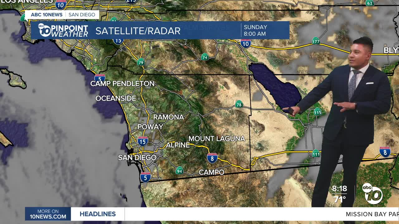


SAN DIEGO (KGTV) — San Diego County is heading into another stretch of warmer and increasingly humid weather this week as high pressure builds over Southern California.
The week begins relatively mild, with temperatures near or slightly below seasonal averages. Highs are expected to reach the mid to upper 70s along the coast, the mid-80s in western valleys and the low to mid-90s across the inland valleys.
Temperatures will gradually climb through the middle of the week as a broad area of high pressure expands westward. By Wednesday and Thursday, some communities could be running about 3 to 7 degrees warmer than normal.
The National Weather Service expects widespread moderate HeatRisk across inland valleys, lower-elevation mountains and deserts from Wednesday through Friday. The hottest conditions will remain in the deserts, where temperatures could reach or exceed 110 degrees in some locations.
Hotter days and warmer nights
Humidity will also remain elevated throughout the week, making the heat feel more noticeable and limiting how much temperatures can cool overnight.
Higher dew points are expected to keep nighttime temperatures several degrees above normal, especially away from the immediate coastline.
For San Diego County, that means another stretch of hot and muggy afternoons inland, followed by relatively warm nights.
Marine layer becomes shallower
Coastal communities will continue to get some relief from the marine layer, although it is expected to become increasingly shallow as high pressure strengthens.
Areas of low clouds and fog will develop during the overnight and morning hours, but the clouds will have a harder time reaching farther inland as the week progresses.
Most of the marine layer will eventually become confined to the coast and far western valleys before clearing during the morning and afternoon.
Monsoon thunderstorms could return
Another change arrives toward the end of the week.
As the center of high pressure shifts toward the Four Corners region, monsoonal moisture is expected to begin moving back into Southern California.
That will bring about a 15% to 20% chance of afternoon showers and thunderstorms across the mountains and high desert Thursday through Saturday.
Most coastal and valley communities in San Diego County are expected to remain dry, but anyone heading into the mountains later this week should keep an eye on changing conditions.
Temperatures could also ease slightly toward the weekend as the high-pressure system moves farther east.
What to expect this week
San Diego's weather pattern will largely be defined by gradually rising temperatures, increasing inland heat, muggy conditions and a shrinking marine layer through the middle of the week.
By Thursday, attention turns to the mountains, where the return of monsoonal moisture could once again produce isolated afternoon thunderstorms.
For most of the county, however, the main story will be the heat and humidity — particularly across inland communities.
Sunday’s high temperatures
Here’s what to expect across the region Sunday:
- Coast: Mid to upper 70s
- Western valleys: Mid-80s
- Inland valleys: Low to mid-90s
- Mountains: Upper 70s to mid-80s
- High desert: Mid to upper 90s
- Low desert: 105 to 108 degrees
