
Weather

Actions

San Diego heat peaks Saturday as high surf and dangerous temperatures continue

San Diego heat peaks Saturday as high surf and dangerous temperatures continue
Posted

SAN DIEGO (KGTV) — The heat will reach its peak across San Diego County on Saturday as a strong area of high pressure keeps temperatures well above average through the weekend.

Most communities will run about 5 to 10 degrees hotter than normal, with triple-digit temperatures expected across many inland valleys and mountain communities. Some of the hottest locations, including Ramona, Campo and Valley Center, could approach record highs.

Temperatures Saturday are forecast to reach 78 to 90 degrees along the coast, 90 to 103 degrees across the inland valleys, 93 to 104 degrees in the mountains and 116 to 119 degrees in the deserts.

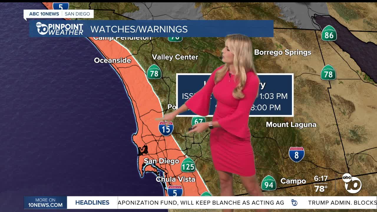
A Heat Advisory remains in effect for coastal communities through 8 p.m. Sunday. While beaches will generally remain in the 70s and 80s, temperatures could climb close to 90 degrees just 10 to 15 miles inland.

An Extreme Heat Warning continues through 8 p.m. Sunday for the inland valleys and mountains. The warning has been extended through 8 p.m. Monday for the deserts, where highs between 113 and 120 degrees are possible.

The marine layer will remain shallow, bringing patchy low clouds near the coast during the morning. Those clouds are expected to clear by late morning, giving way to mostly sunny skies.

A small amount of monsoon moisture could produce an isolated shower over the highest mountain peaks Saturday afternoon, but the chance is very low. Thunderstorms are not expected because the atmosphere remains relatively stable.

Beachgoers looking to escape the heat will also need to watch for hazardous ocean conditions.

A High Surf Advisory remains in effect through 5 p.m. Saturday. Waves could reach 5 to 9 feet along south- and southwest-facing beaches, with waves of 3 to 6 feet along west-facing beaches. Strong rip currents will create dangerous conditions for inexperienced swimmers.

Minor coastal flooding is also possible around the evening high tides, especially in low-lying areas near beaches, parking lots and coastal roads.

Temperatures will begin a gradual decline Sunday as high pressure weakens and onshore flow strengthens. Coastal and valley communities should return closer to seasonal levels next week, although the mountains and deserts will remain about 5 degrees above average.

Humidity may increase again during the middle and latter portions of next week as monsoon moisture returns. That pattern could bring another chance of showers and thunderstorms to the mountains and deserts.

Anyone spending time outdoors this weekend should drink plenty of water, avoid strenuous activity during the hottest part of the day and never leave children or pets inside a parked vehicle. Beach visitors should swim near a lifeguard and remain alert for strong rip currents and unexpectedly large waves.

Saturday forecast highs by region:

  • Coast: 78–90°
  • Inland Valleys: 90–103°
  • Mountains: 93–104°
  • Deserts: 116–119°