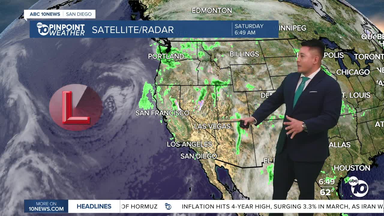


SAN DIEGO (KGTV) — A shift to cooler and more unsettled weather is moving into Southern California this weekend, as a series of low pressure systems begins to impact the region. The biggest effects today will be a noticeable temperature drop, gusty winds, and the slight chance of a few light showers, mainly near the foothills and coastal-facing slopes.
Any rainfall Saturday should stay light, with most areas seeing less than a tenth of an inch, though a few mountain spots could pick up a little more. The more widespread and steadier rain is expected to arrive later tonight into Sunday, when a second and stronger system moves in.
Sunday is expected to bring the wettest weather of the stretch, with rainfall totals generally ranging from a quarter to a half inch for coastal and inland areas, and even higher amounts in the foothills and mountains. There is also a slight chance of thunderstorms west of the mountains, along with stronger winds and dropping snow levels by Sunday night.
Mountain communities could see anywhere from a half inch to an inch of rain, with locally higher totals on some coastal-facing slopes. Snow is also possible above 5,000 feet, with light accumulations possible near Big Bear Lake. Wind gusts in the mountains and deserts could reach 45 to 50 miles per hour, with some blowing dust possible in the lower deserts.
The unsettled pattern may linger into Monday with a few additional light showers before drier and slightly warmer weather returns by the middle of next week.
Saturday’s Highs:
Coast: 64-68°
Inland: 68-71°
Mountains: 55-65°
Deserts: 75-84°
