

SAN DIEGO (KGTV) — Low clouds kicked off the holiday weekend here in San Diego, with more to follow the next few days.
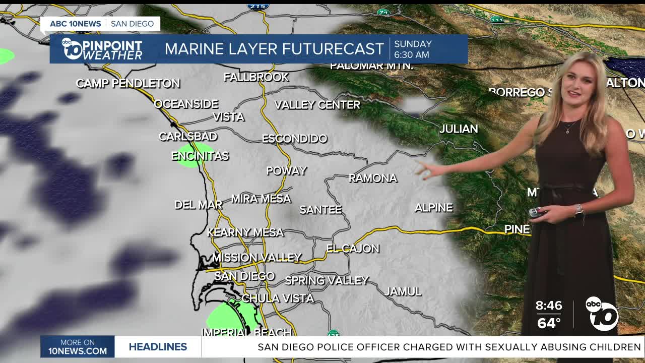
The marine layer has deepened since the work week, spreading into the inland valleys and bringing some patchy morning fog as well.
A cooling trend has already kicked into gear for the county, with temperatures getting just below normal.
For Sunday, expect highs along our beaches to be in the upper 60s and low 70s.
Inland spots will reach into the upper 70s and low 80s.
Our mountains could top out around the low 70s, while the deserts are staying steady with highs in the mid 90s.
For Memorial Day, we will see an even bigger cooldown.
Highs Monday will run about 3 to 7 degrees below average west of the mountains, with beaches likely stuck in the upper 60s.
We’re tracking low pressure moving in and dropping temperatures mid week.
It will also bring gusty westerly winds to our mountains and deserts, close to 45 miles-per-hour for some spots. Wednesday is expected to be the coolest day.
Temps slowly climb back up towards next weekend! We should be closer to average by Saturday.
Sunday’s Forecast:
Beaches: 68-72°
Inland valleys: 74-79°
Mountains: 73-82°
Deserts: 93-98°
Follow ABC 10News Weather Anchor Ava Kershner on Instagram, Facebook, and X.
