

SAN DIEGO (KGTV) — Southern California is getting a break from the summer heat this weekend as a strong weather system moving into the Pacific Northwest brings a significant cool-down to San Diego County.
Temperatures will fall 5 to 15 degrees below average across much of the region, with some mountain communities seeing highs as much as 20 degrees below normal by Sunday.
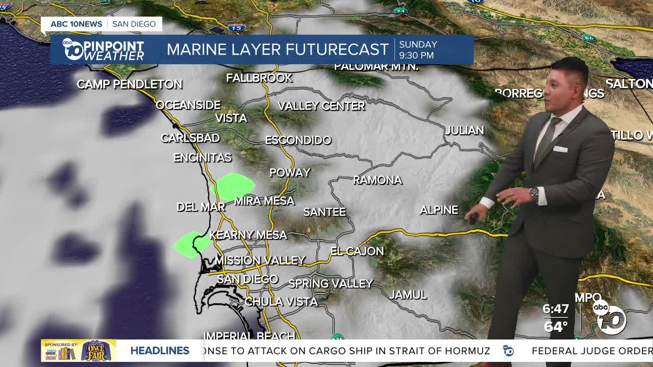
The same system will deepen the marine layer, bringing a return to a classic "June Gloom" pattern. Low clouds will be slower to clear each day, and some coastal communities may stay cloudy well into the afternoon. Patchy drizzle is also possible overnight and during the morning hours through the weekend, mainly west of the mountains.
Gusty west winds will also create hazardous conditions in the mountains and deserts. Winds will strengthen each afternoon and evening through Sunday, with the strongest gusts expected Saturday. Sustained winds of 25 to 50 mph are likely, while isolated gusts could exceed 50 mph in the windiest locations. A Wind Advisory remains in effect for the deserts through 11 a.m. Sunday.
This weekend's cooler weather will bring highs in the 60s along the coast and in the mountains, 70s across the inland valleys, and 90s in the deserts.
A gradual warming trend begins next week as the marine layer becomes a little shallower and clears more efficiently each afternoon. Even so, daytime temperatures are expected to remain below average through much of the week.
By Friday, highs will rebound into the 70s along the coast and in the mountains, 80s inland, and 100s will return to the deserts.
Saturday's Forecast Highs
- Coast: 67–72°
- Inland Valleys: 70–79°
- Mountains: 67–78°
- Deserts: 94–99°
