

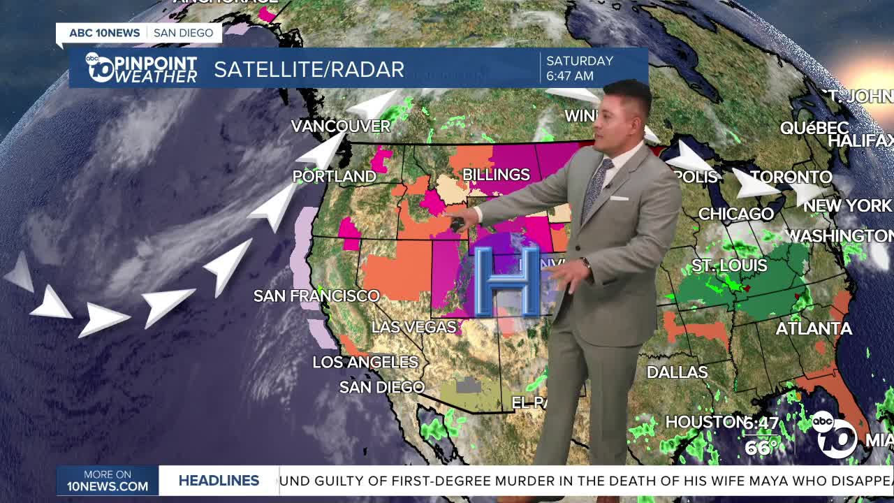


SAN DIEGO (KGTV) — San Diego is getting a break from the extreme heat this weekend, but the cooler temperatures come with a tradeoff.
Monsoon moisture is moving into Southern California, bringing higher humidity, increasing cloud cover, and the chance for showers and thunderstorms over the next several days.
Saturday will begin with patchy low clouds and fog along the coast before skies become partly cloudy through the afternoon. While most of the county will stay dry, there is a slight chance of a few sprinkles or an isolated shower, especially near the mountains.
The chance for showers increases on Sunday as another surge of tropical moisture arrives. By Monday, isolated showers and thunderstorms become more likely, primarily over the mountains during the afternoon and evening. A few storms could drift into nearby valleys or deserts.
Any thunderstorms that develop may produce heavy downpours, frequent lightning, gusty and erratic winds, small hail, and localized flash flooding, especially in the mountains and deserts.
The atmosphere becomes a little less favorable for thunderstorms Tuesday and Wednesday, although humidity will remain elevated. Forecast models suggest another increase in tropical moisture later next week, which could bring another round of afternoon and evening thunderstorms heading into next weekend.
While temperatures are closer to average this weekend, the heat quickly builds again next week. Inland communities will begin warming Tuesday, with the hottest temperatures expected Wednesday through Thursday. This next heat wave could be even hotter than the one San Diego experienced earlier this week.
Coastal neighborhoods are expected to climb into the 80s by midweek, while inland valleys and mountains return to the 90s. The hottest inland locations could approach 100°, while desert communities will once again hover near 110°.
Adding to the discomfort, overnight temperatures will remain unusually warm. Many coastal, inland, and mountain communities will only cool into the 70s overnight, while desert lows stay in the 80s, providing little relief before the next day's heat.
Forecasters say this combination of hot temperatures, high humidity, and periodic monsoon thunderstorms could remain in place through much of the rest of July.
Beachgoers should also prepare for changing conditions. A Beach Hazards Statement goes into effect Sunday morning and continues through Tuesday evening. Evening high tides exceeding 7 feet could cause minor coastal flooding in low-lying beach areas, boardwalks, and parking lots. Elevated surf of 3 to 5 feet and dangerous rip currents are also expected, making swimming more hazardous.
Saturday's forecast highs:
Coast: 71–76°
Inland valleys: 75–89°
Mountains: 87–95°
Deserts: 107–110°
