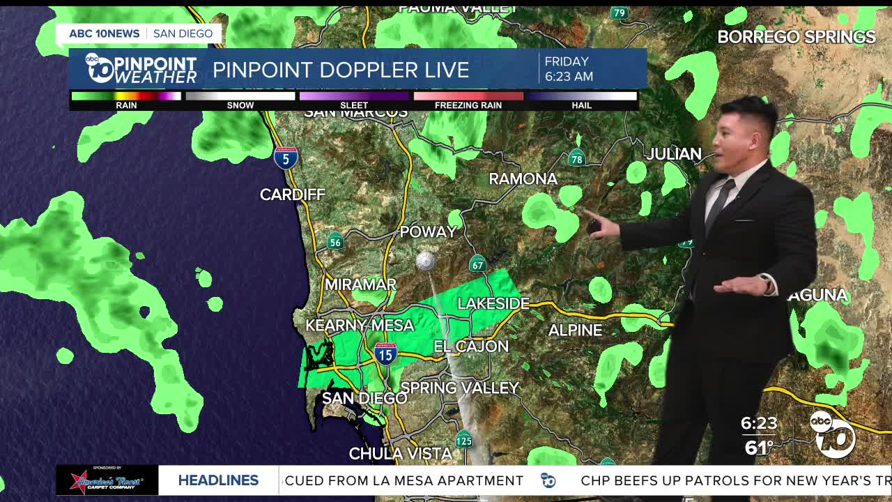


Let's start with the big picture — after widespread heavy rain and flooding across the metro, we do get a short break today.
But it's important to know this is just a pause in an active pattern. Rain returns this weekend and continues on and off into early next week.
The difference between this round of rain and the last is that it's going to be much cooler because we're getting more of that onshore breeze.
On the satellite and radar, the storm system that soaked Southern California has moved inland. That's why the heaviest rain is now behind us. As we roll the forecast forward, today stays dry with just some passing clouds. By late Saturday and into Sunday morning, the next system arrives, bringing a steady round of rain before we see more shower chances early next week.
Right now, conditions are much quieter than they've been. Skies are partly cloudy, roads are starting to dry out, and temperatures are near seasonal levels. But even with dry weather today, the ground is still saturated from days of heavy rain — so standing water, muddy areas, and unstable slopes are still a concern.
Taking a look at the seven-day rain chances — zero percent today and most of Friday night. Rain chances increase Saturday night into Sunday, then stay elevated through at least the middle of next week as a series of weak but colder systems move through.
7-Day Forecast:
Friday is the breather — dry, partly cloudy, and temperatures near or a little above average. Saturday stays dry most of the day, but clouds increase late. Saturday night into Sunday — rain returns. Sunday looks wet at times with cooler temperatures.
Monday through Wednesday stay unsettled with periodic shower chances and below-normal temperatures as we continue this active weather pattern.
So for today, enjoy the break. Use it to clean up and reset — but keep the rain gear ready. This is a wet start to the new year, and the storms aren't done with us yet.
