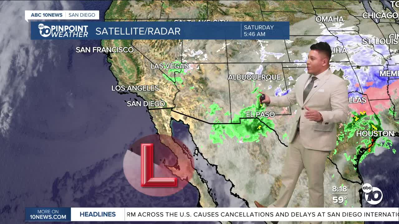


SAN DIEGO (KGTV) — As two-thirds of the country are bracing for what's expected to be a historic winter storm, San Diego is dodging any debilitating impacts. A passing storm along Baja California will give the mountain communities a slight chance of a light drizzle today.
Isolated light showers will continue into Saturday for the mountains westward. Dry weather with a gradual warming trend is expected for Sunday through Friday. Weak to locally moderate Santa Ana winds develop for late Saturday night through Monday afternoon mostly gusting to 45 mph or less. Weaker offshore flow will persist Tuesday and Wednesday. Lower confidence in the weather pattern late in the week with some ensemble members showing precipitation, though the majority remain warm and dry.
This Weekend:
A longwave trough located over the entire continental United States is allowing for another upper level low to drop down over California throughout the day, and then pass to the south as it propagates eastward and opens back up to become absorbed back into the trough.
As there still remains to be a decent amount of saturation in the lower levels up to the 700 mb level, the added lift will allow for the cooler temperatures to persist, and also allow for there to be a slight chance of light rain and/or drizzle to be possible this morning, especially for the foothills of San Diego and Orange counties. There could also be some patchy areas of fog for some of the coastal and inland locations.
By later in the day, snow levels will continue to drop to around 5,500 to 6,500 feet due to colder air advection from the north, which may allow for a dusting of snow later this evening for Mt. Laguna and the surrounding areas.
This trough will also allow for the surface pressure gradient to tighten and bring about some stronger and gusty winds across the higher terrain by later this afternoon, and then weaken overnight into tomorrow, with gusts up to around 45 to 50 mph possible along some of the foothills and through the passes.
Drier conditions will also set in tomorrow as the trough begins to flatten and shift further eastward. Winds will continue to turn more easterly tomorrow with weak downsloping offshore winds resulting in high temperatures being about 3 to 5 degrees warmer from where they will be today.
Saturday's Highs:
Coast: 61-64°
Inland: 65-66°
Mountains: 49-62°
Deserts: 69-70°
For the latest news, weather and traffic updates, follow Gabe Salazar on Facebook and Instagram.
