

SAN DIEGO (KGTV) — That big bubble of high pressure that's been bringing us the heat is finally starting to weaken and move east. That means cooler ocean air is coming back in, and we'll start to feel it, especially near the coast.
So if you're in places like La Jolla, Oceanside, or downtown San Diego, today will be noticeably cooler with more of that marine air moving in. But inland areas — places like El Cajon, Escondido, Riverside, and the low deserts — are still running hot today, even close to record heat in some spots.
We are heading into a gradual cooling trend through Monday. Temperatures will drop a few degrees each day, but we're still staying warmer than normal for this time of year.
Another thing to watch — wind. We're expecting stronger west winds every afternoon and evening in the mountains and deserts. Gusts could hit 35 to 45 mph in wind-prone areas like the San Gorgonio Pass and desert slopes, so if you're driving or hiking out there, be prepared.
Looking ahead, Tuesday through Saturday stays dry with mostly sunny skies. Temperatures warm up a little again midweek, but nothing like the heat we've had recently.
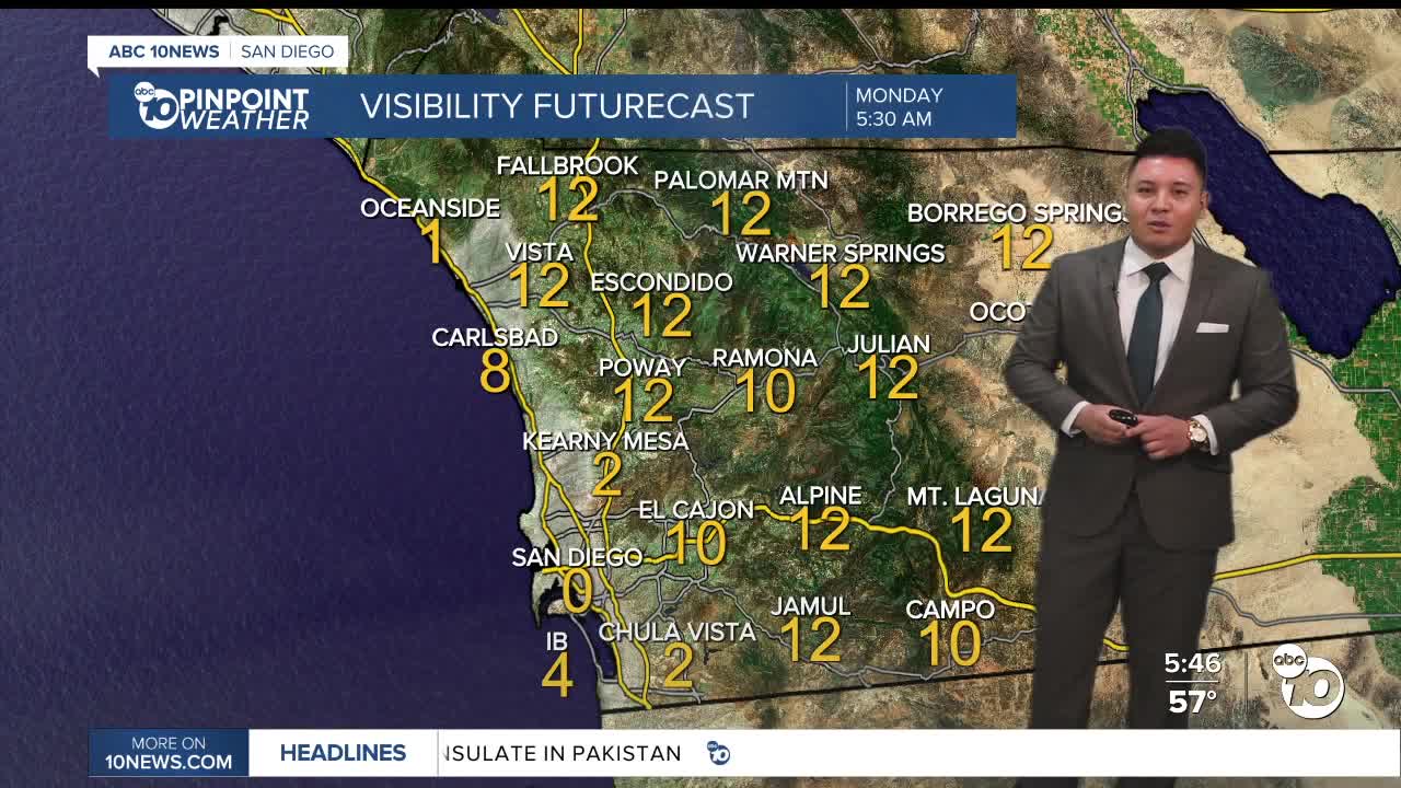
We could see some patchy low clouds and fog returning to the coast late tonight and into early mornings this week, so expect some gray starts before clearing.
Bottom line — cooler near the coast, still warm inland today, breezy in the mountains and deserts, and a slow cooldown through Monday before a dry, mild week ahead.
Monday's Highs:
Coast: 65-70°
Inland: 71-76°
Mountains: 60-72°
Deserts: 81-85°
