

We’re starting the week with a mix of temperature trends across the region as today’s weather stays mostly dry and comfortable — but changes are right around the corner.
High pressure aloft is helping warm things up a bit in the mountains, while a return of onshore flow is keeping the coast and western valleys a little cooler. Overall, it’s a nice day to be outside, especially with plenty of sunshine expected.
Monday's Highs:
Coast: 72-76°
Inland: 80-83°
Mountains: 68-78°
Deserts: 79-84°
Enjoy the calm conditions today, because the weather pattern starts to shift as we head into Tuesday and Wednesday.
A low pressure system moving toward the California coast will strengthen onshore flow, bringing cooler temperatures, increasing cloud cover, and stronger winds — especially for the mountains and deserts. South to southwest winds will pick up Tuesday, with the strongest gusts expected late Tuesday night into Wednesday morning. Some areas near the desert slopes of the San Bernardino County mountains could see gusts between 55 and 65 miles per hour.
Temperatures will drop more noticeably by Wednesday, with highs falling into the low to mid 60s for the coast and valleys, and the low to mid 70s for the lower deserts.
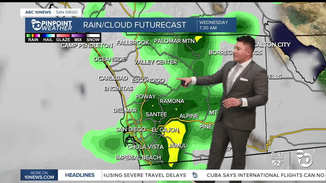
Rain chances also increase late Tuesday night through Wednesday, with the most likely time for widespread rain during the day on Wednesday. Northern areas, including Orange County and parts of southwestern San Bernardino County, could see the highest totals, while amounts decrease farther south into San Diego County.
Snow levels will start near 7,000 feet Wednesday morning, then drop to around 5,500 feet by late Wednesday night.
Looking ahead, a few showers could linger into Thursday — mainly near the mountains — followed by drier weather for Friday and Saturday. However, meteorologists are already watching the potential for a more significant and widespread storm system early next week.
For the latest news, weather and traffic updates, follow Gabe Salazar on Facebook and Instagram.
