

SAN DIEGO (KGTV) — A cooler and more unsettled weather pattern is moving into Southern California this weekend, bringing cloudy skies, gusty winds and a chance for light rain.
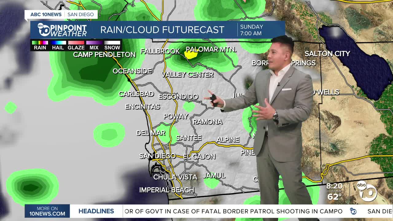
Cloud cover has already increased across the coast and valleys as stronger onshore flow moves into the region. A low-pressure system approaching Southern California will help bring scattered showers later Saturday, continuing into Saturday night and early Sunday.
The best chance for rain will be along the coast, foothills and west-facing mountain slopes. Palomar Mountain and nearby areas could see the highest totals, with some spots picking up close to an inch through Monday.
Winds will also be a major impact this weekend, especially in the mountains, deserts, passes and canyons. Gusts of 45 to 55 mph are possible, with isolated gusts near 65 mph. Blowing dust may reduce visibility in parts of the deserts, including the Coachella Valley.
Temperatures will run about 5 to 15 degrees below normal for this time of year, making for a chilly weekend across much of the region.
Showers will taper Sunday, but a few isolated showers may still develop during the afternoon. Monday begins a drying trend, with warmer weather expected early next week. Another slight chance of showers could return by Wednesday into Thursday, depending on the track of another system offshore.
Saturday's Highs:
Coast: 62 to 66°
Inland valleys: 60 to 67°
Mountains: 45 to 52°
Deserts: 72 to 79°
