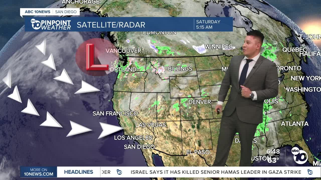


SAN DIEGO (KGTV) — Another gray start greeted much of San Diego County Saturday morning as a deeper marine layer spread low clouds well into the valleys.
The cooler pattern will continue through the weekend, especially for inland communities, as stronger onshore flow keeps temperatures below average for mid-May.
Patchy drizzle is also possible at times near the coast and along the coastal mountain slopes during the overnight and morning hours.
The bigger weather story this weekend will be the wind.
Strong west-to-southwest winds are expected to develop across the mountains and deserts Saturday afternoon through Sunday evening, with widespread gusts between 40 and 50 miles per hour. Some wind-prone areas could see isolated gusts topping 60 miles per hour.
The gusty conditions could create blowing dust in desert areas, especially near the Coachella Valley, along with difficult driving conditions through mountain passes.
The marine layer is expected to remain persistent through the weekend, with clouds pushing inland each night and gradual afternoon clearing near the coast.
By Monday, conditions begin to shift.High pressure will start rebuilding across Southern California, allowing temperatures to gradually warm through Tuesday and Wednesday while winds weaken.
Later next week, San Diego is expected to return to a more typical “May Gray” setup, featuring morning cloud cover, afternoon sunshine near the coast, and a slight cooldown heading into Thursday and Friday.
The overall takeaway: expect a cooler, cloudier weekend with gusty mountain and desert winds before warmer weather returns during the first half of next week.
SATURDAY HIGH TEMPERATURES:
Coast: 66°–71°
Inland Valleys: 72°–78°
Mountains: 58°–68°
High Deserts: 82°–88°
Lower Deserts: 89°–95°
