

SAN DIEGO (KGTV) — San Diego County is getting a break from the recent heat as a cooler weather pattern settles in for the weekend and the start of the new week.
A trough of low pressure moving across the western United States is helping deepen the marine layer and strengthen onshore flow, bringing widespread low clouds, cooler temperatures, and breezy conditions to the mountains and deserts.
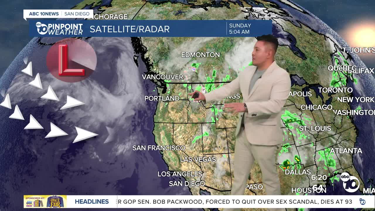
Sunday morning began with extensive cloud cover stretching from the coast into portions of the Inland Empire, with patchy fog developing in some higher inland valleys along the Interstate 15 corridor. Forecasters expect clouds to gradually clear from east to west through the morning, although some coastal communities could remain under overcast skies into the afternoon.
The deeper marine layer will continue to be a major factor through the first half of the week, keeping temperatures close to seasonal averages and bringing recurring night and morning low clouds west of the mountains.
While temperatures will be cooler, gusty winds remain a concern for the mountains and deserts. Afternoon and evening winds are expected to reach 20 to 35 mph, with isolated gusts exceeding 50 mph possible through the San Gorgonio Pass and other wind-prone areas.
Monday brings a slight warming trend, but overall conditions will remain comfortable with continued morning cloud cover and breezy mountain and desert winds.
By the middle of the week, high pressure will begin rebuilding over the eastern Pacific and West Coast. That will gradually compress the marine layer and allow temperatures to climb through Thursday and Friday. Coastal areas will likely continue to see morning clouds, but sunshine will become more dominant inland as the warming trend takes hold.
Looking ahead, dry weather is expected to persist through next weekend with no significant storm systems on the horizon.
Sunday's Highs:
- Beaches: 66° to 71°
- Inland valleys: 72° to 82°
- Mountains: 58° to 70°
- Deserts: 98° to 104°
