

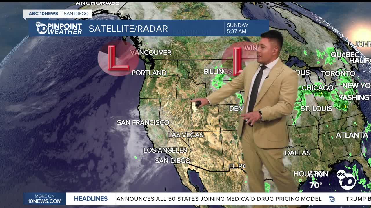


SAN DIEGO (KGTV) — A cooler stretch of September weather is settling into San Diego County, bringing a deeper marine layer, more morning clouds and below-average temperatures before a noticeable warm-up later this week.
Sunday begins with plenty of cloud cover across the coast and valleys, with patchy fog possible farther inland. Some clearing is expected as the day goes on, but temperatures will trend cooler across much of the county.
Highs will stay mainly in the 70s near the coast, while inland communities climb into the 80s. The mountains will also reach the 70s and 80s, with the hottest conditions remaining in the deserts.
Even cooler Monday
Another area of low pressure moving into California will deepen the marine layer heading into Monday.
That means low clouds will become more widespread overnight and during the morning, potentially reaching well into the valleys.
Patchy drizzle will also be possible Monday morning near the coast and in some inland communities.
Monday is expected to be one of the coolest days of the stretch, with temperatures running below normal across much of Southern California.
The increased onshore flow will also bring gustier winds to the mountains and deserts Monday afternoon and evening. Gusts could reach around 35 mph along some desert mountain slopes and through the passes.
Big warm-up begins Wednesday
The cooler pattern won't stick around for long.
High pressure will begin taking control during the middle of the week, sending temperatures noticeably higher beginning Wednesday.
Inland communities will experience the biggest jump, with temperatures potentially climbing into the upper 80s and 90s later in the week.
Coastal communities will warm more gradually, eventually reaching the lower 80s in some areas by Thursday and Friday.
The warmer weather will also bring another drying trend, particularly across the mountains and deserts.
Dry conditions in the mountains and deserts
Humidity will remain especially low east of the mountains Sunday.
Minimum relative humidity could fall to around 8% in the driest locations before moisture levels improve Monday and Tuesday.
Despite the dry air, widespread critical fire weather conditions are not currently expected. However, the combination of dry vegetation, low humidity and locally gusty winds will be something to watch, particularly across the mountains and desert slopes.
Overall, San Diego's weather this week will feature two distinct patterns: a cool and cloudy start followed by a much warmer second half of the week.
SUNDAY HIGH TEMPERATURE RANGES
COAST: 72–77°
INLAND/WESTERN VALLEYS: 75–80°
INLAND VALLEYS: 80–85°
MOUNTAINS: 77–87°
DESERTS: 95–100°
