



SAN DIEGO (KGTV) — San Diego County will enjoy another relatively mild September weekend, with morning clouds giving way to sunshine before an even cooler stretch arrives early next week.
A marine layer around 3,000 feet deep brought patchy low clouds into parts of the coastal basin Saturday morning. Those clouds are expected to gradually clear toward the coast between about 8 and 11 a.m.
Temperatures will climb about 3 to 6 degrees compared with Friday as a brief ridge of high pressure moves over Southern California.
Despite the warm-up, temperatures will remain slightly below normal for this time of year. Highs Saturday will range from the 70s near the coast to the 80s across the inland valleys, with temperatures approaching 100 degrees in the lower deserts.
It will also be noticeably drier across San Diego County's mountains and deserts. Afternoon relative humidity could fall as low as 8% to 15% in those areas, while humidity remains higher closer to the coast.
Another cooldown arrives
The brief warming trend won't last long.
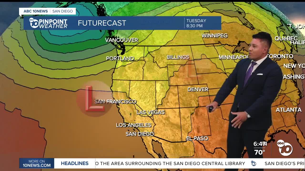
Another low-pressure system will approach California Sunday before settling over Central California by Monday. That will strengthen the onshore flow and allow the marine layer to deepen again.
Expect more widespread night and morning clouds across the coast and valleys, along with cooler afternoon temperatures.
Monday is expected to be the coolest day of the stretch, with inland temperatures potentially running about 6 to 12 degrees below average.
The cooler-than-normal pattern is expected to continue into the first part of the week.
Temperatures climb again by midweek
Another noticeable change arrives beginning Wednesday as the low-pressure system moves away and high pressure begins building near Southern California.
Temperatures could jump roughly 5 to 10 degrees, bringing San Diego County closer to typical mid-September conditions.
Later in the week, temperatures could reach around 80 degrees near the coast, the mid to upper 80s across inland San Diego County and the lower 100s in the lower deserts.
There is still some uncertainty surrounding exactly how strong the late-week high pressure becomes. Some forecast guidance keeps temperatures closer to normal, while other projections bring temperatures several degrees above average.
For now, the overall trend is clear: cooler weather through the beginning of the week followed by a significant warm-up during the second half.
Beaches and marine conditions
Conditions offshore should remain relatively quiet. No hazardous marine conditions are expected through Wednesday.
SATURDAY HIGH TEMPERATURE RANGES
COAST: 73–79°
INLAND/WESTERN VALLEYS: 78–83°
INLAND VALLEYS: 81–89°
MOUNTAINS: 72–82°
HIGH DESERT: 85–89°
LOW DESERT: 98–101°
