

SAN DIEGO (KGTV) — San Diego's stretch of cool, cloudy weather isn't going anywhere just yet.
A large area of low pressure over the western United States will keep temperatures below average through much of the week while maintaining a deep marine layer across Southern California. That means another round of widespread morning low clouds, patchy drizzle in some areas, and slow afternoon clearing—especially near the coast.
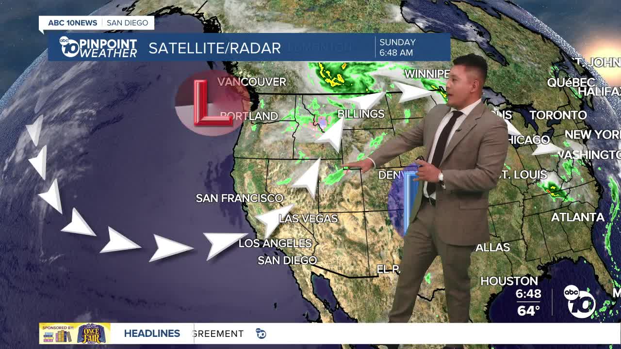
The marine layer measured around 3,500 feet Sunday morning, allowing clouds to spread well inland, reaching the mountain foothills and even portions of the desert near Jacumba. Patchy drizzle lingered through the morning west of the mountains before gradually tapering off.
Beach communities may see little sunshine again today, with some coastal neighborhoods remaining mostly cloudy through the afternoon. Inland valleys should experience partial clearing later in the day, although temperatures will stay much cooler than what's typical for late June.
High temperatures will run about 5 to 10 degrees below average along the coast and 10 to 20 degrees below average across inland communities. Forecasters say the unusually cool pattern will persist as another disturbance moves through Southern California on Tuesday, reinforcing the marine layer and keeping temperatures below normal into next weekend.
The other weather concern continues to be the wind across the mountains and deserts. Strong westerly winds will gust between 35 and 45 mph through the desert slopes, with isolated gusts reaching 65 mph in the windiest locations, including near the San Gorgonio Pass. A Wind Advisory remains in effect for the San Diego County deserts through Sunday evening.
Boaters will catch a break, however, as no hazardous marine conditions are expected through Friday.
A gradual warming trend is expected to begin later this week as high pressure slowly builds back into the Southwest. Even then, temperatures are expected to remain below average for most of San Diego County through the workweek before a more noticeable warm-up arrives next weekend.
FORECAST HIGHS
- COAST: 66°–71°
- INLAND VALLEYS: 73°–80°
- MOUNTAINS: 61°–73°
- HIGH DESERTS: 83°–90°
- LOW DESERTS: 100°–106°
