

SAN DIEGO (KGTV) — Clear skies will be the trend through Saturday with chilly mornings and warm afternoons. Highs Saturday will be near average for the coast and deserts while inland and mountain communities will be 5 to 10 degrees above average.
This weekend will see mid-60s to low-70s at the coast, low to mid-70s inland and in the deserts and mid-50s to low-60s in the mountains.
The marine layer briefly returns overnight Saturday into Sunday morning and potentially again into Monday morning, bringing patchy dense fog. Winds turn back offshore late Sunday into early next week, and that coupled with high pressure building will bring a warm-up across the county.
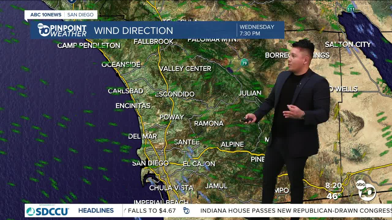
Expect east and northeasterly gusts of 25 to 45 mph and isolated gusts over 50 mph for the wind-prone areas overnight Monday through Wednesday, potentially lingering into Thursday.
Next week, temperatures will soar 5 to 15 degrees, locally near 20 degrees, above average. Expect 70s along the coast, 80s inland, near 70 degrees in the mountains and 80s in the desert with record highs possible Wednesday and Thursday.
Now is a great time to clear defensible space around your home to prepare for any future fires.
Saturday's Highs:
- Coast: 65-71°
- Inland: 70-75°
- Mountains: 58-71°
- Deserts: 71-74°
