

A Flood Watch, Wind Advisory AND High Surf Advisory? Our weather plate is as full as it gets for Christmas Eve.
Let's start with that Flood Watch — it goes into effect for all of San Diego County from Wednesday at 4 a.m. through Thursday at 1 a.m.
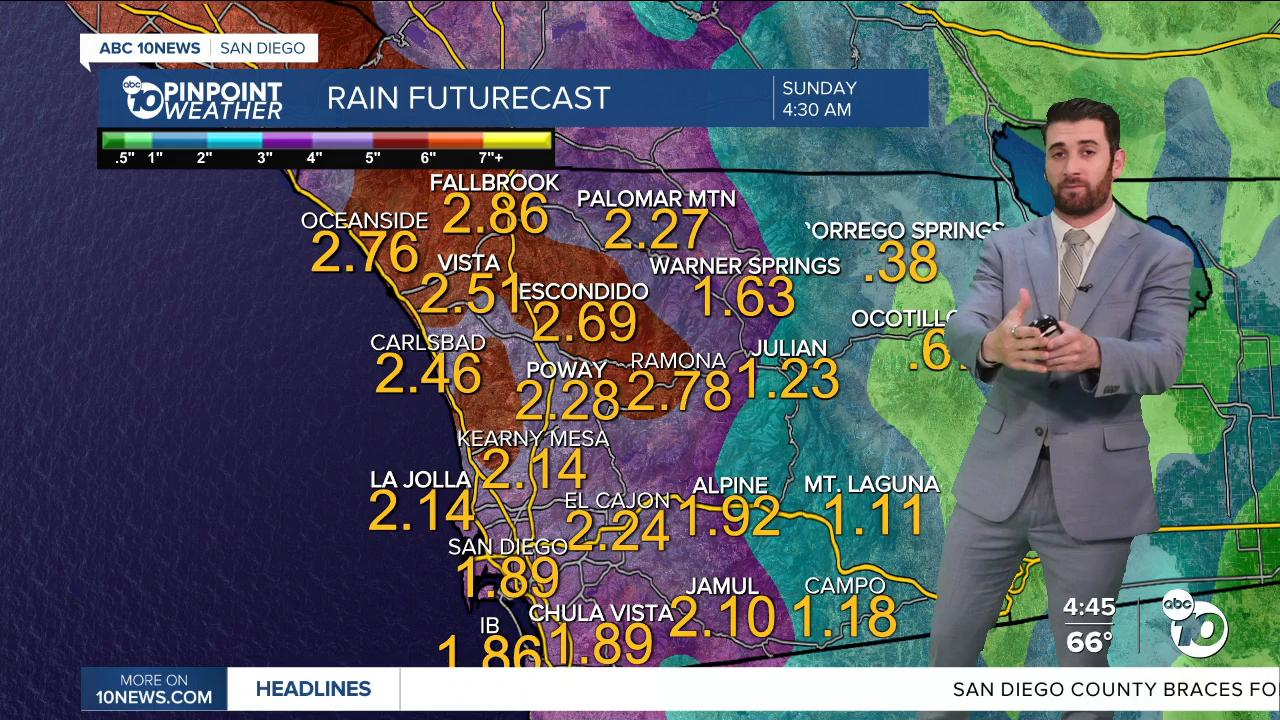
The most rain we've ever seen for Christmas Eve is 1.47" back in 1940. Despite the heavy rainfall we are forecasting, it doesn't look like we will quite get there here in 2025.
Here's what rainfall totals could look like by the time Christmas Eve comes to a close:
Coast/Valleys: 0.75"-1.25"
Mountains: 0.4"-1.25"
Deserts: 0.3"-0.5"
Those numbers are more on the conservative side. Some models show totals could be an inch or more than the numbers shown above.
The rain will hit our coast first, especially in North County, around 9 a.m. and very slowly but surely move its way east.
There's also a Wind Advisory in effect for the coast and valleys for Christmas Eve. The southerly gusts will peak around 45 mph.
The mountains and deserts will be breezy, but their winds peak on Christmas Day around 50 mph.
We also have a chance to see more rain on Christmas Day, but nowhere near what we are expecting for the day before.
Rain chances and totals pick back up Friday before tapering off into the weekend.
Let's not forget about that High Surf Advisory — that is in effect through 11 a.m. Saturday. In that frame, the highest waves, likely to come Friday, will be around 5-9' with sets of 10' to go along with strong rip currents as well.
Wednesday's Highs:
Coast: 67-70°
Inland: 67-74°
Mountains: 53-65°
Deserts: 68-71°
Follow ABC 10News Weather Anchor Max Goldwasser on Instagram, Facebook and Twitter.
