

Gusty Santa Ana winds will become more confined to the passes and coastal slope regions as we continue into the upcoming week. Temperatures will warm into Wednesday. High temperatures of 5 to 15 degrees above average are expected from Wednesday into this weekend with continued dry and mostly sunny weather.
North and east winds are currently gusting near 30 to 40 mph across the foothills and valleys with local gusts over 50 mph. Winds are expected to ease some by later this afternoon and evening. This will allow Wind Advisories across the region to expire by the early afternoon.
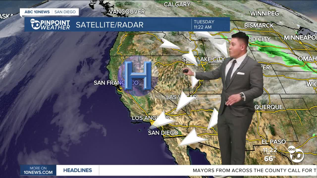
Winds will increase slightly again by Tuesday morning, though not as strong as today and more localized to the mountains as the pressure gradient begins to relax. The offshore wind pattern will stick around much of this week as high pressure remains locked in across the West Coast. This will continue to bring gusty winds to the coastal slopes of the mountains into some western valleys each day. Winds will generally be 35 to 50 mph in the windy spots, closer to 25 to 35 mph elsewhere.
High pressure over California will continue to amplify by Tuesday into Wednesday. Near average temperatures across the mountains and deserts will begin to rise above average by Wednesday. Chances for reaching 80 degrees rise dramatically by this day, with chances near 70 to 90% for many areas of the Inland Empire, Coachella Valley, and inland San Diego County valleys.
The area of high pressure will not move much over the rest of the week, leading to only minor day-to-day changes in the weather. Highs in the 70s and 80s will continue for areas west of the mountains and lower deserts. Beach days will be glorious with highs in the low to mid-70s. Early-morning low temperatures will also not be as chilly by the middle and end of this week.
Pressure heights fall some by the weekend, which will help ease offshore winds across the mountains and foothills even further. This may aid in a slight cool down in temperatures but confidence on this occurring remains low. Models begin to hint at a possible turn to onshore flow by early next week as well, which could nudge our temperatures closer to average with weaker winds.
Follow ABC 10News Meteorologist Megan Parry on Facebook at Megan Parry 10News, Instagram @mis_meg_wx and Twitter @10NewsParry.
For the latest news, weather and traffic updates, follow Gabe Salazar on Facebook and Instagram.
Follow ABC 10News Weather Anchor Max Goldwasser on Instagram, Facebook and Twitter.
