

While Saturday brought plenty of precipitation and thunderstorms to the mountains, Sunday will shape up to be much drier and sunnier.
It was an active radar for much of the afternoon in the mountains and deserts, where Flood Advisories, Flood Watches and Flash Flood Warnings were all in place for a period of time before expiring between 5-7 p.m.
Areas that saw the most rain were Combs Peak in northeastern San Diego County at 1.25", followed by Boulder Oaks in southeastern San Diego County (near Campo) at 1.01" of rain.
Most other places saw half-an-inch of rain or below.
Sunday will start with slight chances for thunderstorms in the mountains, as well as patchy fog in the mountains and valleys. That, combined with a cloudy start to the day for the coast and some inland neighborhoods.
By the late morning, the clears out and makes way for partly cloudy to mostly sunny skies across the region.
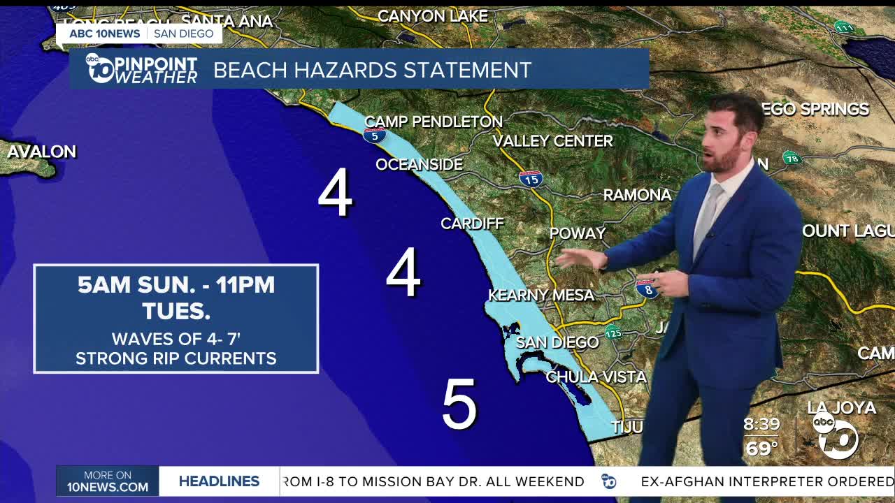
Sunday also marks the beginning of a Beach Hazards Statement along the coast, with an elevated surf of 4-7 feet and strong rip currents expected. That expires late Tuesday evening.
Daytime highs will remain below average by up to 7 degrees to wrap up the weekend and start the work week with a deep marine layer.
There will be a brief and minor warm up by the end of the week, before temperatures fall back off by a couple degrees into next weekend.
Sunday's Highs:
Coast: 71-77°
Inland: 76-80°
Mountains: 67-78°
Deserts: 85-91°
Follow ABC 10News Weather Anchor Max Goldwasser on Instagram, Facebook and Twitter.
