

After a mild Sunday, rain and strong winds are back in the forecast to begin the week, with the potential to stretch all the way into Thursday.
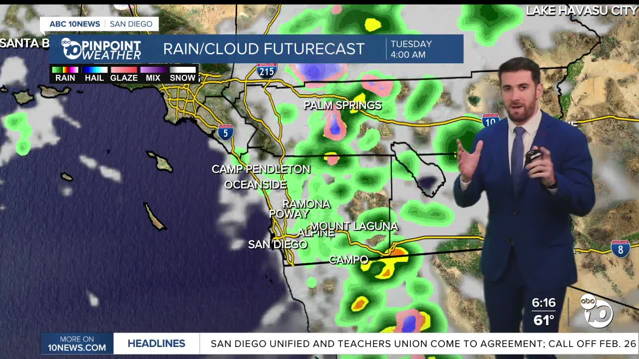
The significant storms will be split into two main rounds — on from Monday into early Tuesday, and then another from Tuesday night into early Wednesday.
The rain should hit the coast first, falling around 9 a.m. Monday. It'll move quickly across the region and all microclimates should be seeing rain by the afternoon.
According to the Euro Model, rain totals for the first round should be about 1.0-1.5" along the coast and in the valleys, about 1-2" for the mountains and about 0.25-0.75" for the deserts.
The coast and valleys might also see some thunderstorms Monday night into Tuesday.
Snow is likely to fall in that window in the mountains as well, mainly in Mt. Laguna where the National Weather Service is forecasting 3-4" through Tuesday night.
A Wind Advisory will also be activated Monday the all of San Diego County, just at different times depending on where you live. It'll be triggered between 7 a.m. to 8 p.m. for the coast and valleys (where gusts will be between 30-45 mph), and between 10 a.m. to 1 a.m. Tuesday for the mountains and deserts (with a range of 40-65 mph).
Those winds will get even stronger on Tuesday for the desert mountain slopes and the deserts.
Oh, let's add one more thing into the mix — a High Surf Advisory starts 10 a.m. Monday and lasts through 4 a.m. Thursday, with waves between 8-12' and sets locally up to 13' expected.
The next round arrives late Tuesday into early Wednesday with a similar trajectory. Expect rain, strong winds and some snow, with the snow level dropping to 4,000 ft. at times.
These stormy conditions will taper off through Thursday.
By the time it's all said and done, here's what the Euro model says our rain totals could look like from Monday through Thursday:
Coast: 1.5-2"
Inland: 2-2.5"
Mountains: 2.5-4"
Deserts: 0.5-1.5"
Keep in mind, temperatures will gradually decrease that entire stretch as well.
Friday onward, we clear up and warm up, finally getting back up above average by next Sunday.
Monday's Highs:
Coast: 61-64°
Inland: 58-66°
Mountains: 46-57°
Deserts: 65-73°
Follow ABC 10News Weather Anchor Max Goldwasser on Instagram, Facebook and Twitter.
