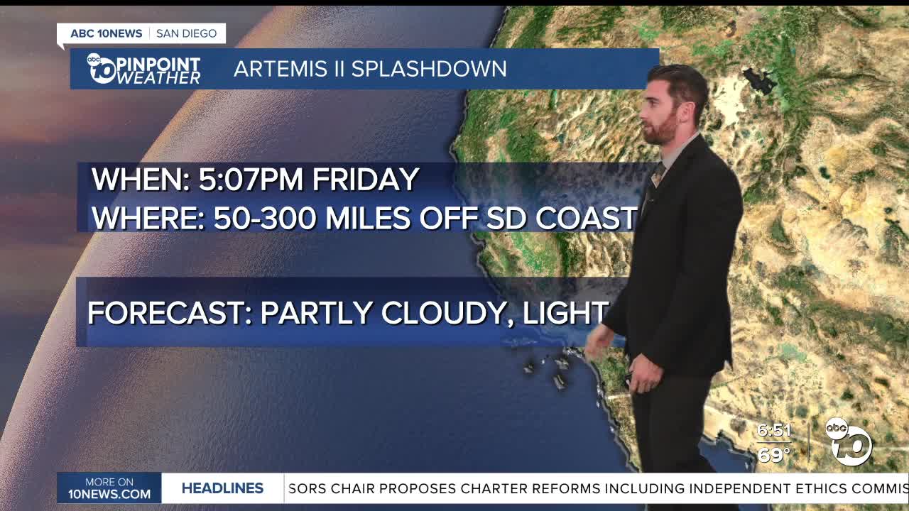


As we approach Friday evening's Artemis II splashdown, we're keeping a close eye on the forecast and it's potential impacts on the astronaut's return to earth — right now, all signs are a go!
Before we get to Friday, we have to get through the rest of Wednesday and Thursday.
The coast and inland valleys could see patchy fog late Wednesday into early Thursday. The county will collectively see partly cloudy skies with temperatures about 5-10 degrees above average.
The mountains and deserts will also see winds out of the west around 15-25 mph with stronger gusts close to 35-40 mph.
Those winds will remain on Friday for the mountains and deserts, but it'll be mostly sunny with temperatures relatively the same.
The Artemis II splashdown is set for 5:07 p.m. and could land in an area 50-300 miles off the coast of San Diego, but it'll likely be closer to the lower end of that range since weather conditions will be favorable (no rain or thunderstorms within 35 miles, no lightning in the vicinity and wave heights less than 6 feet).
Our chances for showers look to hold off until some precipitation could start to fall overnight Friday into Saturday.
The majority of this system will hit late Saturday evening and Sunday morning, with slight chances for thunderstorms for the coast, inland valleys and mountains in that window.
Rain is likely Sunday morning, with chances sticking around into the evening. The mountains could see showers fall at late as Monday.
Temperatures in that stretch will also cool, dipping below average on Saturday and bottoming out about 5-15 degrees cooler than normal Sunday.
The temperature trampoline has our daytime highs jumping back up pretty quickly after that, back to 5-10 degrees warmer than normal by next Wednesday.
Thursday's Highs:
Coast: 71-77°
Inland: 76-82°
Mountains: 64-77°
Deserts: 85-93°
Follow ABC 10News Weather Anchor Max Goldwasser on Instagram, Facebook and Twitter.
