

It's been a minute since we've been able to say rain is returning to San Diego County — but that changes with your extended forecast this upcoming week.
Before we get there, temperatures will drop a touch on Monday, still topping out around 5-10 degrees above average.
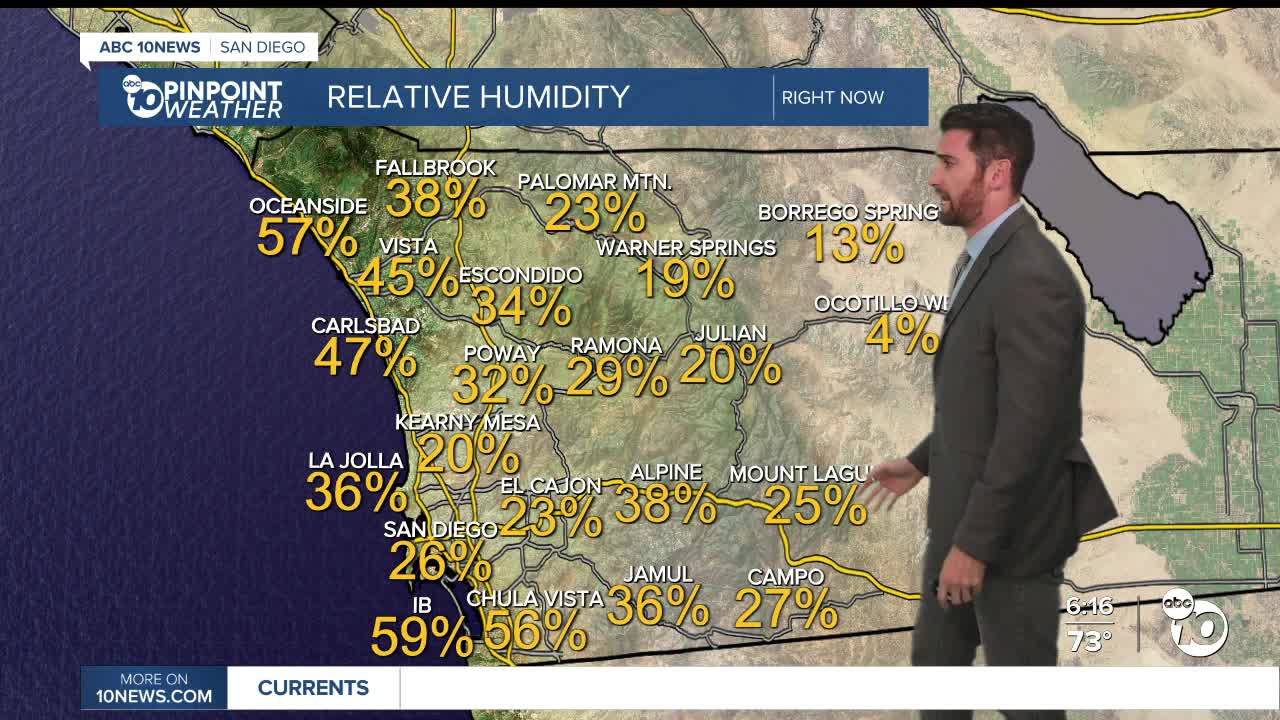
Parts of the coast should wake up with patchy fog, but most of Monday will be nice and sunny across the region.
Temperatures stay steady, or even increase by a couple degrees, on Tuesday and Wednesday, with sunny conditions expected to continue.
Thursday is when things change.
Skies will get cloudier and temperatures will get cooler, especially in the mountains and deserts, dropping by about 7 degrees from Wednesday's max temperature.
The mountains will also see winds pick up Thursday and Friday.
By Friday evening, areas in and west of the mountains have a slight chance to see showers. Then on Saturday, those chances increase and span all the way out to the deserts.
In fact, the coast, inland communities and mountains have a slight chance at seeing thunderstorms in the evening.
Those rain possibilities linger into the morning on the coast and into the afternoon for the valleys and mountains.
As of now, totals and true timing are unclear. We'll get a better idea as the end of the week approaches.
Monday's Highs:
Coast: 68-76°
Inland: 76-82°
Mountains: 66-76°
Deserts: 87-94°
Follow ABC 10News Weather Anchor Max Goldwasser on Instagram, Facebook and Twitter.
