



Our coastal flooding concerns will extend past Thursday. They have already brought massive high tides that would've each set daily records compared to the previous record heading into this week.
Here's how the numbers look through Wednesday in both the San Diego Harbor and La Jolla:
San Diego Harbor (previous record: 8.24 ft. in Nov. 2015)
- Monday: 8.44 ft.
- Tuesday: 8.52 ft. (new record)
- Wednesday: 8.43 ft.
La Jolla (previous record: 7.81 ft. in Nov. 2015)
- Monday: 7.90 ft.
- Tuesday: 7.98 ft. (new record)
- Wednesday: 7.91 ft.
The Coastal Flood Warning, in effect since Sunday, will continue through Thursday at 1 p.m. When that expires, a Coastal Flood Advisory will be triggered through Friday at 2 p.m.
Ocean water levels will remain approximately 1 to 1.7 feet above astronomical tide predictions. Also watch for sneaker waves and stay off of rock walls and jetties.
Temperatures on Thursday will be slightly cooler than Wednesday, putting the coast and inland valleys in upper 70s to mid 70s.
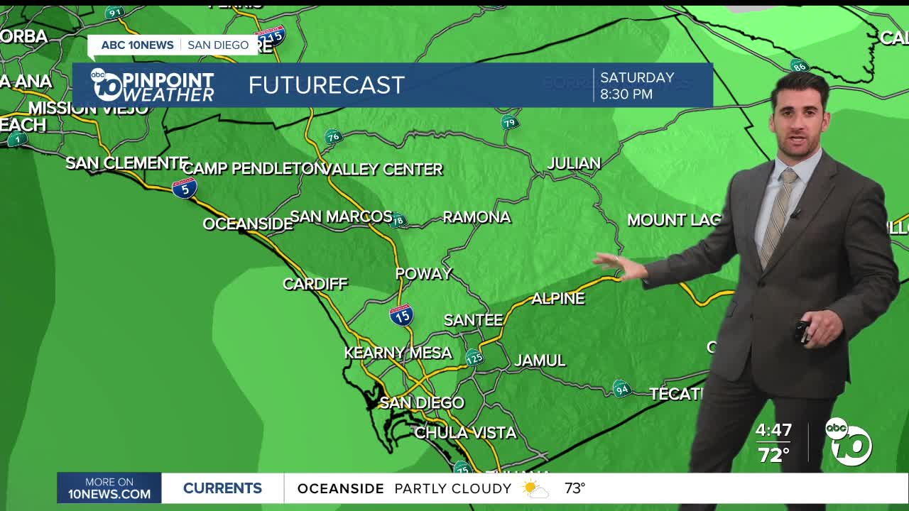
Thursday will bring partly cloudy skies with a slight chance of afternoon showers. The rain doesn't really pick up until Friday morning and then Saturday night into Sunday morning.
So, that Halloween forecast is going to be cold and wet — putting a fitting little scare into your weekend plans.
It could also bring some thunderstorms late Saturday into Sunday.
It is still too early to determine exact rainfall totals or which communities will see the most rain, but some models show rain totals could range between 1-2 inches from Thursday through Sunday.
Thursday's Highs:
Coast: 69-74°
Inland: 70-76°
Mountains: 60-70°
Deserts: 77-83°
Follow ABC 10News Weather Anchor Max Goldwasser on Instagram, Facebook and Twitter.
