



We traded the heat for humidity on Sunday, with twin hurricanes in the Pacific briefly helping break the dry spell by bringing showers into the region.
According to the National Weather Service, the clouds are so high Sunday that, even with showers falling, most of the precipitation didn't reach the ground.
Still, some did, but not enough to bring any measurable amounts other than 0.01" in the mountains through early Sunday evening.
Rain chances will continue through the night and linger into Monday for the mountains. Other than that, you can expect temps up to five degrees below average with mostly sunny skies.
Temperatures will climb once again through the week, increasing by about 10-15 degrees by Saturday.
Both storms will also bring increased swell to our beaches. Hurricane Odalys will bring elevated surf through Sunday, while Hurricane Polo will continue the bigger waves through Tuesday. On top of the bigger waves, astronomical high tides will coincide with those bigger waves Monday through Wednesday.
A Beach Hazards Statement expires late Sunday night for waves of 3 to 6 feet and dangerous rip currents. Morning high tides of 6.7 to 7 feet are expected through Wednesday. The elevated surf coupled with higher than normal tides may lead to beach erosion and coastal flooding, with the greatest concern Monday and Tuesday.
That's why a Coastal Flood Advisory will be in effect from 5 a.m. Monday through 5 p.m. Wednesday.
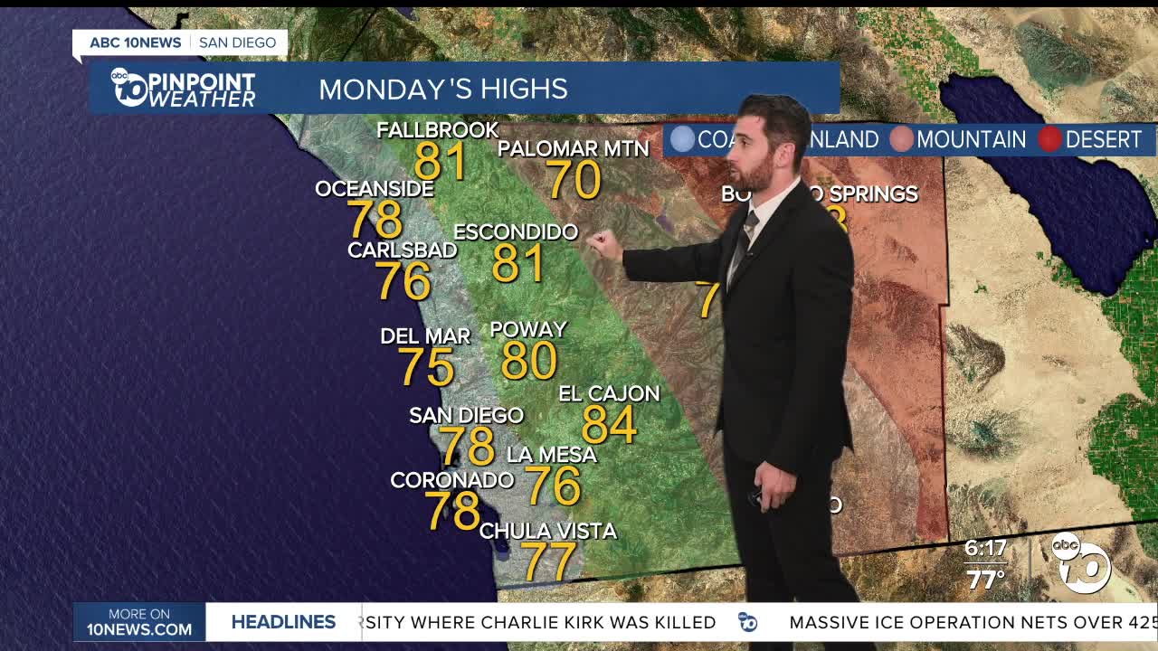
Monday's Highs:
Coast: 74-81°
Inland: 79-84°
Mountains: 68-79°
Deserts: 88-94°
Follow ABC 10News Weather Anchor Max Goldwasser on Instagram, Facebook and Twitter.
