

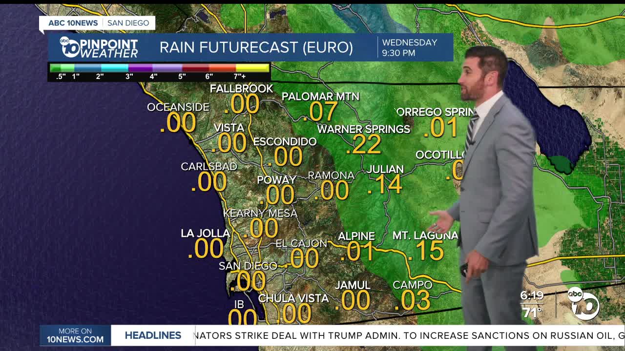


Temperatures will climb this week, along with our humidity, bringing the perfect recipe for some storm chances through much of the extended forecast.
This all follows the Beach Hazards Statement that took effect Sunday, bringing coastal flooding with evening high tides exceeding 7 feet and strong rip currents through Tuesday.
Daytime highs remained normal on Sunday, and so too will overnight lows.
That means the coast and inland valleys will fall into the mid-to-upper 60s.
Those near-normal temperatures continue through Monday, but the humidity increases. The inland valleys and mountains have a chance at seeing thunderstorms in the afternoon, with those conditions more likely in the mountains.
By Tuesday, an Extreme Heat Watch takes effect for all areas in and west of the mountains. That sticks around through Thursday, with temperatures peaking on Wednesday.
In fact, on Wednesday, Ramona could set a new record with an expected high of 103.
A chance of showers each afternoon and evening continues from Thursday through Saturday, with those storms potentially bringing lightning into the mountains and deserts. Wind gusts will pick up with each round of precipitation from monsoon moisture.
Daily rainfall totals will be minimal, with the largest amounts coming in the mountains on Thursday and Friday.
Monday's Highs:
Coast: 72-82°
Inland: 82-89°
Mountains: 81-90°
Deserts: 99-105°
Follow ABC 10News Weather Anchor Max Goldwasser on Instagram, Facebook and Twitter.
