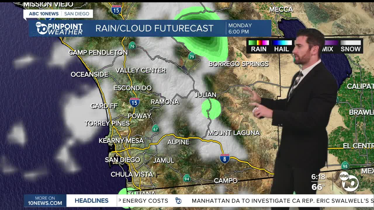


The work week will start the same way the weekend will end — with spotty showers sticking around for most of the region — outside of one new addition: chances for snow showers in the higher elevations.
Patchy fog is hitting the inland valleys and mountains, sticking around into the morning as well.
Temperatures will be cool Sunday night, dropping into the 30s for some mountain communities and into the 40s inland.
Daytime highs on Monday will remain on the cooler side of average by about 5-15 degrees. Wind speeds will stay breezy for the mountains and deserts, sustained out of the west between 20-30 mph and some stronger gusts up around 50 mph.
But the big headline is the precipitation — although, not big is the precip total.
Most areas will stay below 0.10" but areas where heavier showers may briefly occur, like some inland neighborhoods in southern parts of the county, could accumulate up to 0.25".
With temperatures that cool, the higher elevations could receive snow as well in the afternoon and evening.
Snow levels will hover around 5,000-6,000 feet, affecting Mt. Laguna and Palomar Mountain.
Select that see a brief snow shower could receive up to an inch of snow, but at the very least, a dusting is possible down to 5,000 feet.
Once Tuesday hits, we will clear up and warm up pretty quickly. Daytime highs will jump 5-10 degrees by Tuesday and only increase after that through Sunday, to go along with mostly sunny to partly cloudy skies the rest of the week.
Monday's Highs:
Coast: 62-67°
Inland: 58-68°
Mountains: 44-56°
Deserts: 66-74°
Follow ABC 10News Weather Anchor Max Goldwasser on Instagram, Facebook and Twitter.
