

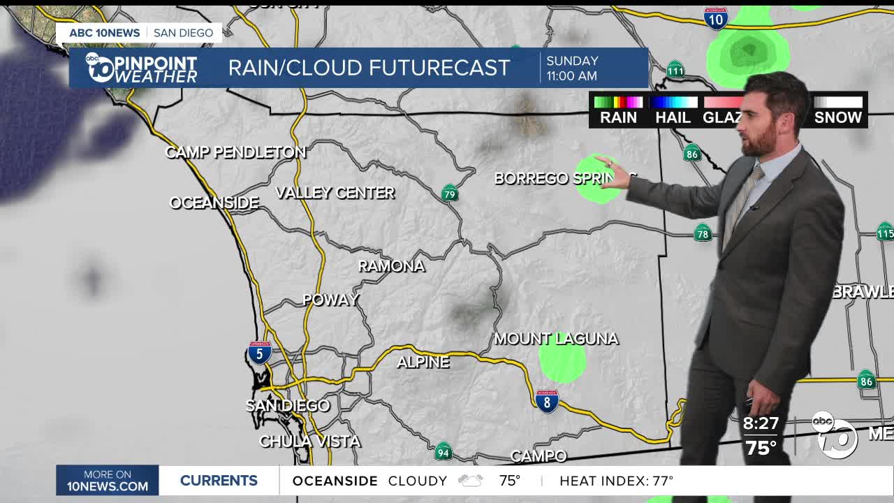


A much different Sunday compared to Saturday, as the clouds will cool temperatures inland and in the mountains by about 10-15 degrees.
Not as hot but more humid on Sunday as more moisture gets pulled in, bringing a slight chance of showers or sprinkles during the day, with isolated showers possible Sunday evening into Monday in the mountains and deserts.
This is due to the jet stream to our north diving south, acting to pull in moisture from both Hurricane Odalys and Hurricane Polo into San Diego.
The chance of rain depends on several factors, including where Polo and Odalys actually track and how far south the jet stream dives, so stay with the Pinpoint Weather Team for updates.
Both storms will also bring increased swell to our beaches. Hurricane Odalys will bring elevated surf through Sunday, while Hurricane Polo will continue the bigger waves through Tuesday. On top of the bigger waves, astronomical high tides will coincide with those bigger waves Monday through Wednesday.
A Beach Hazards Statement is in effect until late Sunday night for waves of 3 to 6 feet and dangerous rip currents. Morning high tides of 6.7 to 7 feet are expected through Wednesday. The elevated surf coupled with higher than normal tides may lead to beach erosion and coastal flooding, with the greatest concern Monday and Tuesday.
That's why a Coastal Flood Advisory will be in effect from 5 a.m. Monday through 5 p.m. Wednesday.
Monday will be the coolest day of the next week with 70s for the coast and mountains, 80s inland and 90s in the deserts. Warmer weather moves in midweek, with everyone about 5-10 degrees above average Wednesday on.
Sunday's Highs:
Coast: 77-87°
Inland: 85-89°
Mountains: 71-84°
Deserts: 91-96°
Follow ABC 10News Weather Anchor Max Goldwasser on Instagram, Facebook and Twitter.
