

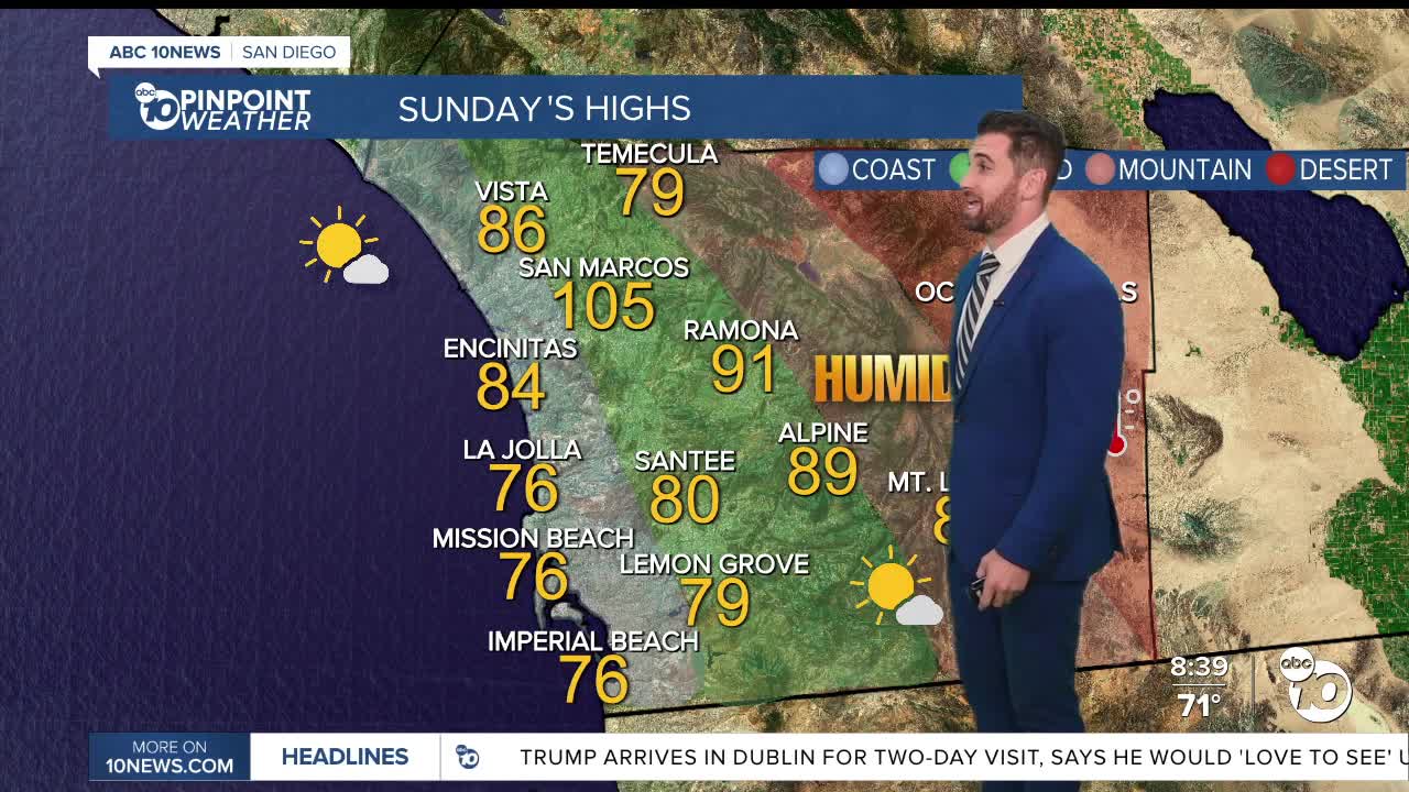


How's this for a San Diego Saturday & Sunday! The penultimate summer weekend brings some ultimate relief from the heat wave.
Temperatures Saturday were noticeably more comfortable compared with the heat earlier this week, although inland communities will still be warm.
The return of the marine layer will also bring more low clouds to coastal communities during the overnight and morning hours. Those clouds are expected to gradually push farther inland into portions of the western valleys over the next several mornings, with some patchy fog possible.
Most of the clouds will clear back toward the coastline by late morning, leaving behind plenty of sunshine for Sunday afternoon.
The cooldown becomes even more noticeable Sunday, when temperatures are expected to fall another 3 to 5 degrees across the region. That should bring daytime highs and overnight lows right around average for the middle of September.
The cooling trend is expected to continue into Monday and Tuesday, when temperatures will be up to 5 degrees cooler than normal.
The cooler weather, however, won't last too long.
Forecast models indicate high pressure could begin expanding back toward Southern California by Wednesday and beyond. While there is still uncertainty over exactly how strong the ridge will become, inland temperatures could eventually climb another 5 to 15 degrees.
How much warming reaches the coast will depend heavily on the position of the ridge and how strong the marine layer remains.
For now, San Diego County can expect a much more comfortable weekend and start to next week, with cooler temperatures, lower humidity and the return of more familiar September morning clouds.
Sunday's Highs:
Coast: 76-85°
Inland: 85-91°
Mountains: 80-91°
Deserts: 99-105°
Follow ABC 10News Weather Anchor Max Goldwasser on Instagram, Facebook and Twitter.
