

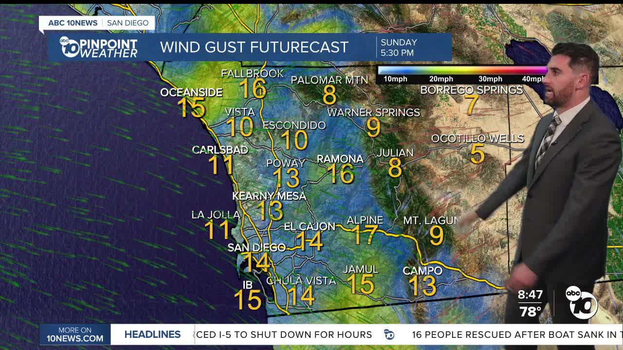


Santa Ana winds have settled down, and our temperatures are doing the same. We return to average on Tuesday, just in time for more showers in the forecast.
The High Wind Warning expired in the valleys at 8 p.m. Saturday, with the one in the mountains expiring at midnight.
Click here to see peak wind gusts.
While the heat peaked Friday, Saturday was quite warm with highs 5 to 15 degrees above average for the coast and valleys. Sunday will be a bit cooler, but temperatures will still be above average on the coast and in the valleys in the 80s.
A Heat Advisory was in effect for the coast until 8pm Saturday for highs in the mid-80s to mid-90s.
The mountains and deserts will experience temperatures near to below average into the weekend.
Moisture from the tropics got pulled in Saturday, even bringing more clouds and a slight sprinkles into the afternoon in the mountains.
Temperatures will fall back to average by Tuesday, before a cold Pacific storm will bring a chance of rain and thunderstorms on Wednesday. Scattered showers continue into Thursday.
It will also be cooler with temperatures plummeting 5 to 15 degrees below average, in the 60s for the coast and valleys, 50s in the mountains and 70s in the deserts.
Stay with the Pinpoint Weather Team as we track the strong winds this week and the chance of rain next week.
Sunday's Highs:
Coast: 79-87°
Inland: 81-89°
Mountains: 62-78°
Deserts: 79-85°
Follow ABC 10News Weather Anchor Max Goldwasser on Instagram, Facebook and Twitter.
