

Cooler weather sticks around through the weekend, although, that's a relative term -- I wouldn't call it cool by any means.
Temperatures on the coast are still mainly going to top out in the mid-to-low 70s, with the inland valleys in the mid-to-upper 70s. Meantime, the mountains will be in the 70s and the deserts around 100 degrees.
That puts everyone at-or-below average by a few degrees, with the furthest departure from average coming in the valleys at around 5-10 degrees.
As a low pressure moves through the region, this trend will continue. Temperatures don't budge through the weekend.
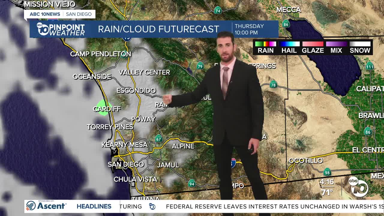
It will also maintain a more extensive marine layer, bringing clouds to the inland valleys each night and morning through Friday, and along the coast through the weekend.
High pressure takes over early next week, diminishing the marine layer, the cloud cover and increasing those temperatures.
The mountains and deserts will see the largest increase, getting back to around 10 degrees above average by next Wednesday.
That Beach Hazards Statement is also still in effect along the coast through Friday evening, with waves of 3-6 feet, sets of 7 feed and strong rip currents.
Even after that expires, and elevated surf and strong currents should stick around for a bit.
Thursday's Highs:
Coast: 68-75°
Inland: 74-80°
Mountains: 72-81°
Deserts: 96-102°
Follow ABC 10News Weather Anchor Max Goldwasser on Instagram, Facebook and Twitter.
