
With stronger westerly breezes entering the region, especially in the mountains and deserts, the monsoon moisture will be leaving, taking with it our above-average temperatures.
This follows a second day in a row with light shower chances in the mountains, but any precipitation was minimal and short-lived.
Temperatures will drop a bit into Wednesday, bringing everyone back to at-or-below average conditions. The coast will be in the upper 60s to mid-70s, with the inland valleys in the mid-70s to low 80s.
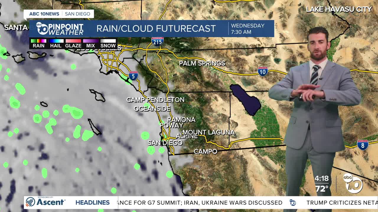
Coastal clouds will continue to expand and stretch farther inland each night and morning as the marine layer deepens. Those two areas should see overnight and patchy morning fog as well.
Smoke from the Mateo Fire burning at Camp Pendleton has impacted air quality in several North County cities, putting places like Valley Center, Fallbrook and Oceanside under smoke advisories.
Winds will pick up each afternoon and evening, but not around the Mateo Fire — rather, in the mountains and deserts. Westerly winds will push between 20-30 mph, with some gusts up around 45+ mph at their strongest through Friday.
Daytime highs will continue to fall a bit through the weekend, putting the inland valleys and mountains about 5-10 degrees below normal, all before another warm up to begin next week.
Wednesday's Highs:
Coast: 69-76°
Inland: 76-83°
Mountains: 77-85°
Deserts: 98-106°
Follow ABC 10News Weather Anchor Max Goldwasser on Instagram, Facebook and Twitter.
