

Temperatures will stay above average until we finally flip the script on Thursday, with a brief and minor cooling trend on the horizon.
The Beach Hazards Statement, which was extended on Sunday, now goes through Friday evening, bringing waves of 3-6 feet with sets to 7 feet especially on more south-facing beaches.
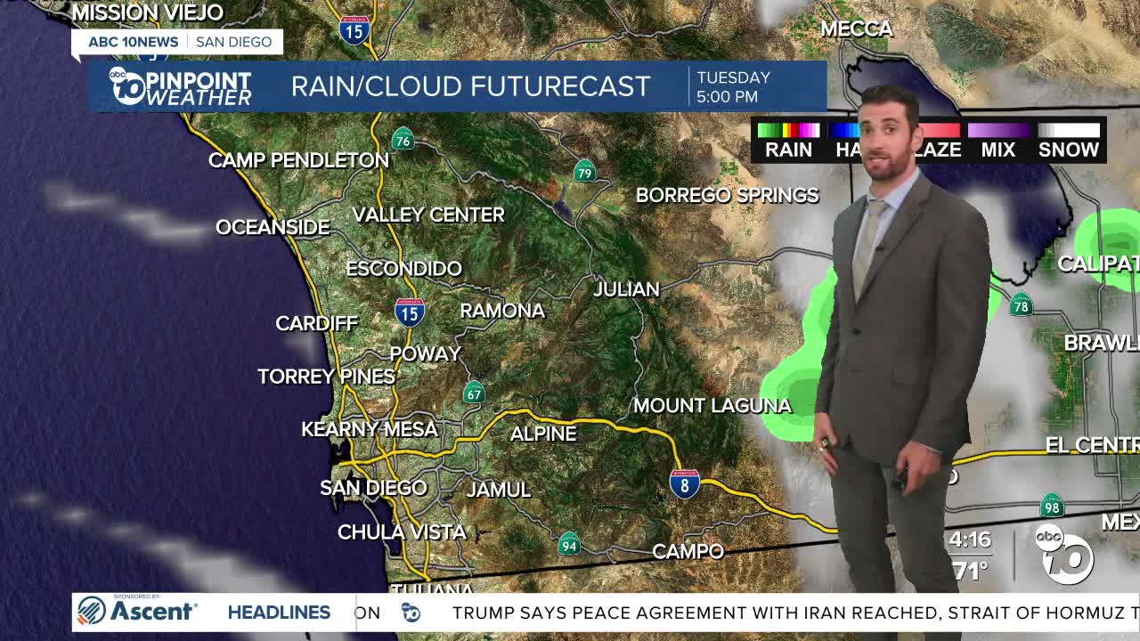
Monsoon moisture in the air was expecting to come with muggier conditions & lightning and thunderstorms south of the border, with a minor chance of reaching San Diego and Imperial Counties, but the Satellite/Radar did pick up some of that activity around Mount Laguna late Monday afternoon.
That monsoon moisture will stick around for at least one more day.
The coastal low clouds we've seen on the coast each night and morning will spread farther into the valleys during the latter half of the week as the marine layer deepens.
Until then, temps will continue to hover above average by about 5-10 degrees, mainly in the mountains and deserts. The coast and inland valleys are closer to normal.
Tuesday and Wednesday should look and feel very similar to one another.
Thursday is when the entire county cools back to average, staying there into the weekend before another modest warming trend and a shallower marine layer come Sunday.
Westerly winds will pick up on Wednesday in the mountains and deserts as well each afternoon and evening, peaking on Friday at around 40-50 mph in the most wind-prone passes.
Tuesday's Highs:
Coast: 70-79°
Inland: 79-87°
Mountains: 83-92°
Deserts: 105-111°
Follow ABC 10News Weather Anchor Max Goldwasser on Instagram, Facebook and Twitter.
