



If you think it's hot now, just wait until we get to next weekend -- record heat is on the way for several spots in San Diego County.
Temperatures will remain steady through the early part of the week, with little change in our daytime highs and overnight lows.
Conditions will hover up to 5 degrees above average across the board in that stretch. Forecast lows will also be warmer than normal, so relief at night will be minimal.
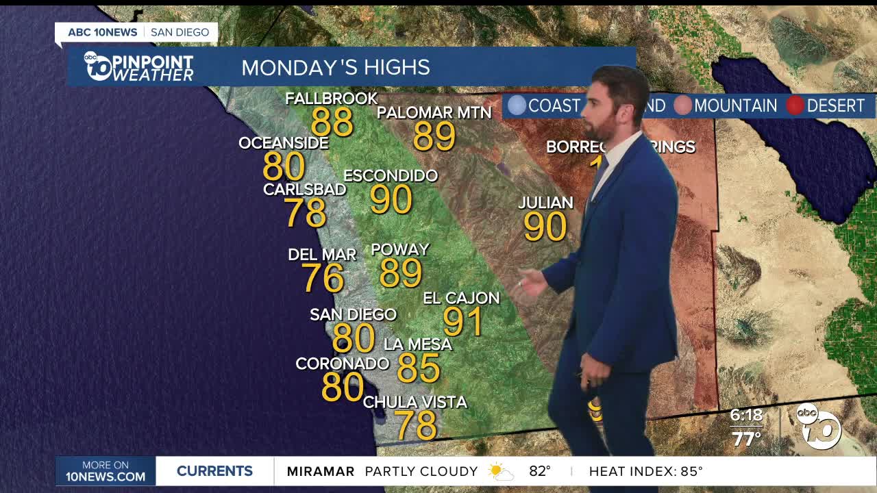
Highs on Monday will hit the mid-70s to mid-80s on the coast, and in the upper 80s to mid-90s inland. The mountains will mainly be in the upper 80s and low 90s with the deserts at 110+.
A Heat Advisory remains in effect through Monday evening for the coast, inland valleys, and mountains, while an Extreme Heat Warning continues for the deserts. Both are set to expire Monday evening at 8 p.m., but we would not be surprised if it either gets extended or more heat alerts are implemented by the end of the week.
High pressure is expected to strengthen again beginning Thursday, sending temperatures back upward. Forecast confidence is increasing that Friday and next weekend could bring the hottest weather San Diego has experienced so far this summer, with many inland communities reaching 10 to 15 degrees above average.
There are several records in play next Saturday and Sunday.
On Saturday, Ramona (102), Lake Cuyamaca (98), Campo (106) and Borrego (121) could all set records. The all-time high for Borrego is 122 on June 25, 1990.
On Sunday, Ramona (102), Campo (106) and Borrego (120) could all set records again.
Beachgoers should also be prepared for rougher ocean conditions, as a Beach Hazards Statement is still in place through Wednesday afternoon.
A long-period south swell will build through the first half of the week, bringing 3 to 5-foot surf Sunday, increasing to 4 to 6 feet with occasional sets up to 7 or 8 feet Monday and Tuesday, especially at south-facing beaches. A high risk of rip currents will continue through much of the week, and elevated high tides could lead to minor coastal flooding during the evening high tide cycle.
Monday's Highs:
Coast: 76-86°
Inland: 87-94°
Mountains: 88-98°
Deserts: 108-114°
Follow ABC 10News Weather Anchor Max Goldwasser on Instagram, Facebook and Twitter.
