



SAN DIEGO (KGTV) — For those who are getting sick of this heat, I wish I had better news — but heat alerts will be sticking around through at least Monday night. I wouldn't be surprised if they get extended or new ones take effect by next weekend.
The Heat Advisory for the coast and inland communities remains in effect, with an Extreme Heat Warning continuing for our mountains and deserts. Both expire at 8 p.m. Monday.
Along the coast, Sundays temperatures will top out in the mid-70s to mid-80s. The father inland you go the warmer it gets.
The valleys will range in the mid-80s to mid-90s, the mountains in the low-to-upper 90s and the deserts around 110+ degrees.
It's not just the daytime heat either. Overnight temperatures will stay unusually warm, so many neighborhoods won't get much of a chance to cool off. That can really add up after several days of hot weather.
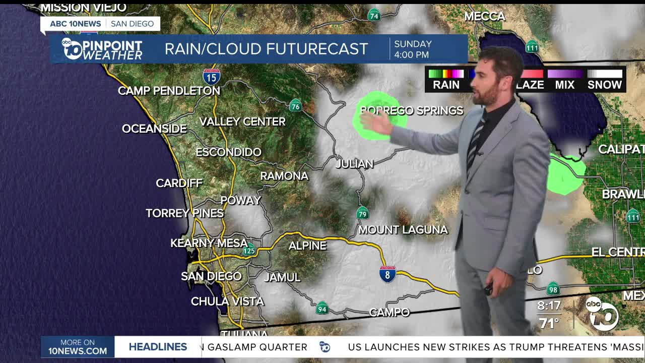
We're also keeping an eye on monsoon moisture moving in from the east. That extra humidity sticks around through the weekend and could spark a few afternoon showers or even an isolated thunderstorm over the mountains on Sunday.
If you're planning to head to the beach to cool off, be careful. A Beach Hazards Statement has been extended through Wednesday afternoon. Expect 3 to 7-foot surf, dangerous rip currents, and elevated high tides that could cause minor coastal flooding around beach parking lots, boardwalks, and other low-lying areas during high tide.
As we head into next week, temperatures ease back a few degrees and humidity gradually comes down through about Wednesday. It won't be a dramatic cooldown, but it will take the edge off before another warming trend arrives late next week.
Monday's Highs
Coast: 75-85 degrees
Inland: 86-95 degrees
Mountains: 90-98 degrees
Deserts: 108-115 degrees
Follow ABC 10News Weather Anchor Max Goldwasser on Instagram, Facebook and Twitter.
