



Two things to look forward to in our weather future — a High Surf Advisory and more chances for showers and thunderstorms.
The High Surf Advisory takes effect Sunday at 5 p.m. and expires Tuesday at 11 p.m. A southerly swell will bring a surf of 4-7 feet, with sets up to 8 feet.
A tropical system developing off the southern coast of Mexico next week has the potential to bring more rounds of at least an elevated surf again starting Thursday and sticking around into next weekend.
Sunday will see temperatures top out near average, putting the coast in the low 70s to low 80s, with inland and mountain communities hitting the low 80s to low 90s. The deserts will be well into the triple digits and stay there.
Temperatures go on a very minor and very gradual increase through Wednesday and Thursday, when, at most, the county will be 5 degrees above normal.
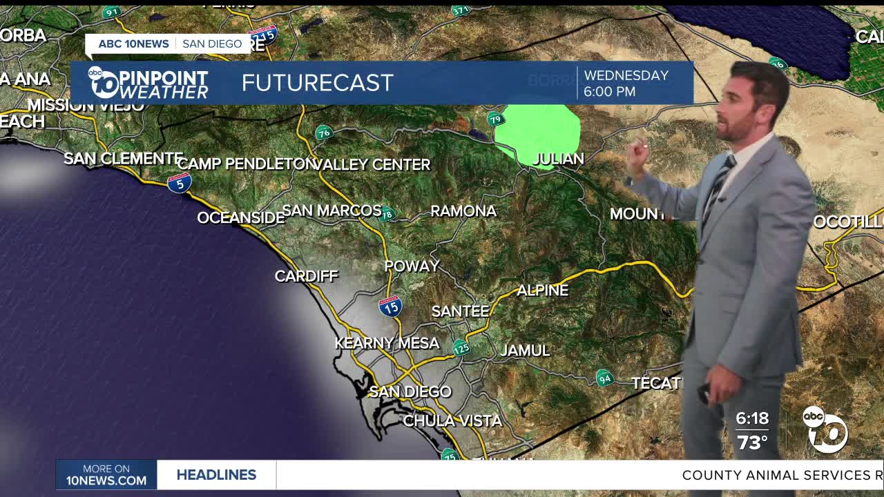
Around that same time, chances for showers and thunderstorms return, starting Wednesday in the mountains, then extending into the foothills and deserts Thursday and Friday.
Rainfall totals will minimal, with some areas in the mountains expected to get at most 0.15" from start to finish.
Monday's Highs:
Coast: 73-81°
Inland: 83-91°
Mountains: 83-92°
Deserts: 103-109°
Follow ABC 10News Weather Anchor Max Goldwasser on Instagram, Facebook and Twitter.
